


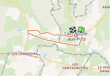

19.1 km | 24 km-effort


User


FREE GPS app for hiking
 SityTrail
IGN / Geographical institutes
SityTrail World
The world is yours!
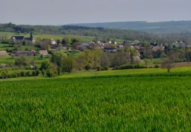
Trail Walking of 5.6 km to be discovered at Hauts-de-France, Oise, Lachapelle-aux-Pots. This trail is proposed by marcel.F.
départ parking de la mairie

Mountain bike
Mountain bike

Walking
Walking
Walking
Walking
Walking
Walking