


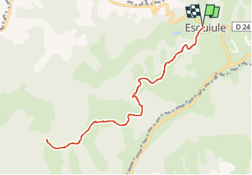
G3-ESQUIULE-Sommet de Cambilhou TC

mitch1952
User

Length
11.2 km

Max alt
640 m

Uphill gradient
563 m
Km-Effort
18.7 km

Min alt
243 m

Downhill gradient
564 m
Boucle
Yes
Creation date :
2020-02-14 20:18:46.957
Updated on :
2022-06-07 09:28:09.591
4h14
Difficulty : Difficult

FREE GPS app for hiking
 SityTrail
IGN / Geographical institutes
SityTrail Plus
The world is yours!
About
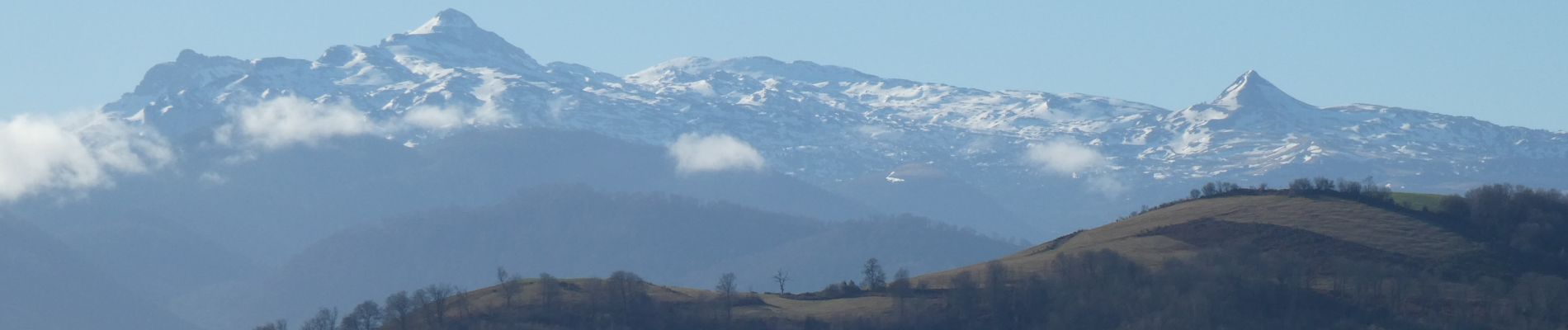
Trail Walking of 11.2 km to be discovered at New Aquitaine, Pyrénées-Atlantiques, Esquiule. This trail is proposed by mitch1952.
Photos


Positioning
Country:
France
Region :
New Aquitaine
Department/Province :
Pyrénées-Atlantiques
Municipality :
Esquiule
Location:
Unknown
Start:(Dec)
Start:(UTM)
686080 ; 4784928 (30T) N.
Comments