


Haut Soultzbach

helmut68
User


4h10
Difficulty : Easy

FREE GPS app for hiking
 SityTrail
IGN / Geographical institutes
SityTrail Plus
The world is yours!
About
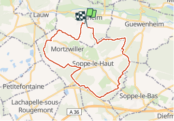
Trail Walking of 17.7 km to be discovered at Grand Est, Haut-Rhin, Sentheim. This trail is proposed by helmut68.
Description
Départ et arrivée place de jeux de Sentheim .Prener la route de Mortzwiller jusqu'en haut de la colline,puis emprunter le chemin à votre drote qui mène dans la forêt.
Suivre le balisage " disque rouge " , " disque jaune " , " Croix rouge " et enfin le " "triangle bleu " jusqu'à la chapelle " Notre Dame des Bouleaux" . De là suivre le balisage " croix jaune" jusqu'à Sentheim.
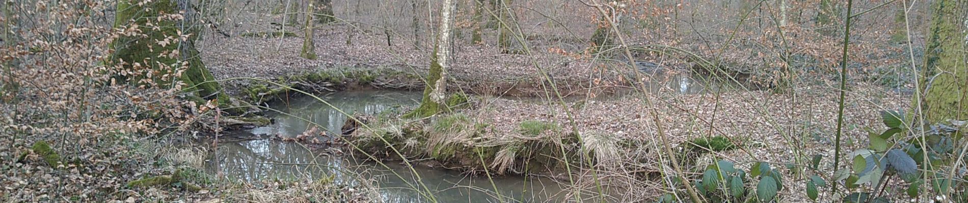
Très belle randonnée qui vous fait découvrir le Haut Soultzbach ( communes de Mortzwiller, Soppe le Haut ...) et ses beaux points de vue.
Alors à vos chaussures ...
Photos


Positioning
Comments