


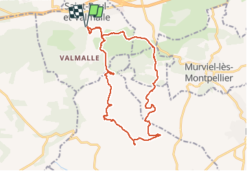

16.1 km | 21 km-effort

User


FREE GPS app for hiking
 SityTrail
IGN / Geographical institutes
SityTrail World
The world is yours!
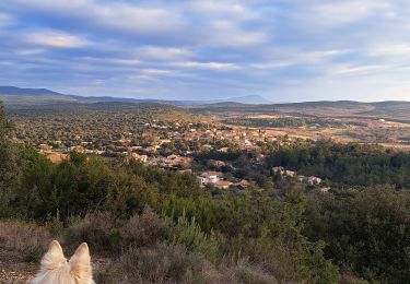
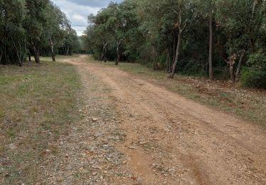
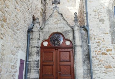
Trail Walking of 18.9 km to be discovered at Occitania, Hérault, Saint-Paul-et-Valmalle. This trail is proposed by labarone.
Bon parcours
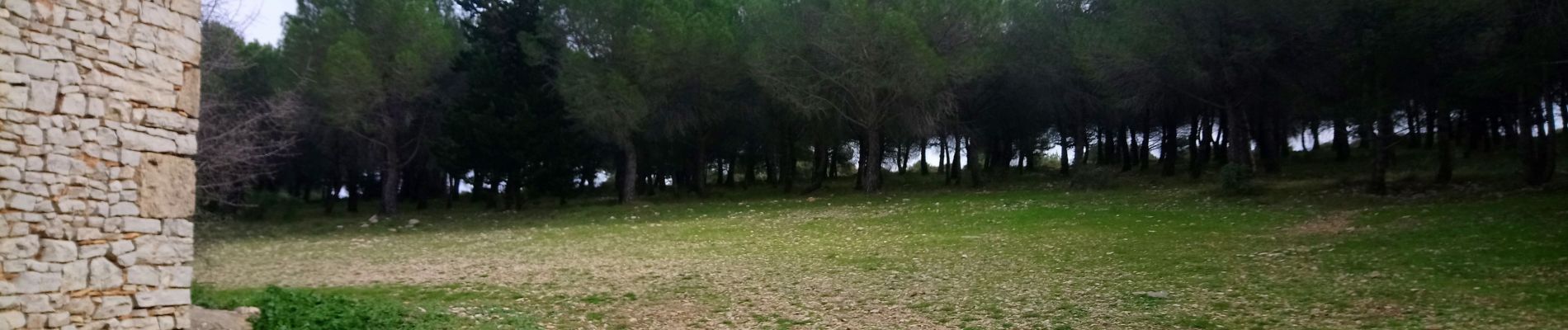
En février mars asperges sauvages


Nordic walking
Nordic walking
Walking

Walking
Walking
Walking
Walking
Walking
Walking