


9.1 km | 17.8 km-effort


User


FREE GPS app for hiking
 SityTrail
IGN / Geographical institutes
SityTrail World
The world is yours!
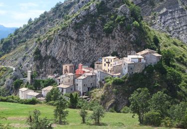
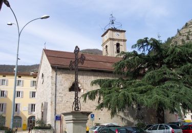
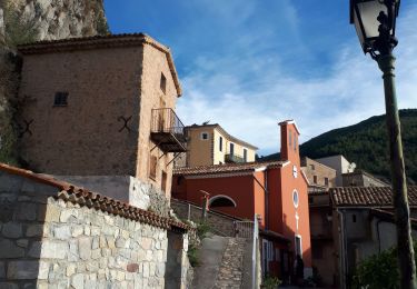
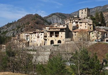
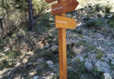
Trail Walking of 14.3 km to be discovered at Provence-Alpes-Côte d'Azur, Maritime Alps, Puget-Théniers. This trail is proposed by PEBREJOSIANE.
départ de la route 6202 à proximité du Gam vert.
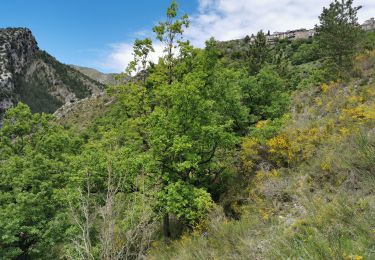
Rando variée au milieu d'oliviers de chênes et de pins.
Quelquefois en balcon, quelquefois en sous-bois.
On foot
On foot
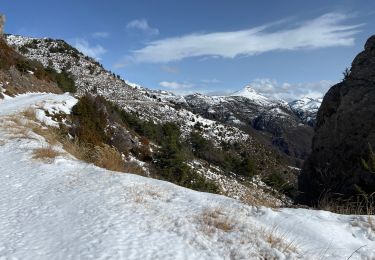
Snowshoes
Walking

Walking
On foot
Walking
Walking

Walking