


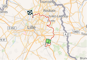


17.7 km | 18.7 km-effort


RCM ... l'esprit rando à vélo et à pied !


FREE GPS app for hiking
 SityTrail
IGN / Geographical institutes
SityTrail World
The world is yours!
Trail Walking of 31 km to be discovered at Hauts-de-France, Nord, Fretin. This trail is proposed by Randonneur Club Marcquois.
Aller par le train (Carte Pass de la MEL à Fretin) puis départ pour une 30 km vers Marcq le long de la Marque majoritairement. Possibilité de couper au court de réduire en prenant les transports en commun de la MEL et surtout déjeuners et boisson possible tout au long du chemin ...


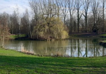
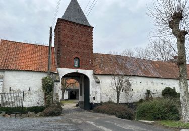
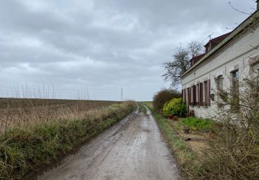
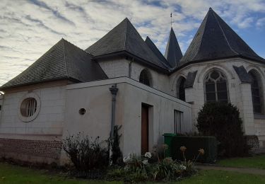
27 photos in total. Please click on a photo to see them all in the gallery.

Equestrian

Walking

Walking
Walking

Walking
Walking
Walking
Walking
Walking