


les Karellis

laurentnecca
User
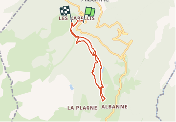

Length
6.8 km

Max alt
1836 m

Uphill gradient
370 m
Km-Effort
11.5 km

Min alt
1533 m

Downhill gradient
308 m
Boucle
No
Creation date :
2020-03-06 07:37:46.62
Updated on :
2020-03-06 10:42:49.845
2h41
Difficulty : Medium

FREE GPS app for hiking
 SityTrail
IGN / Geographical institutes
SityTrail Plus
The world is yours!
About
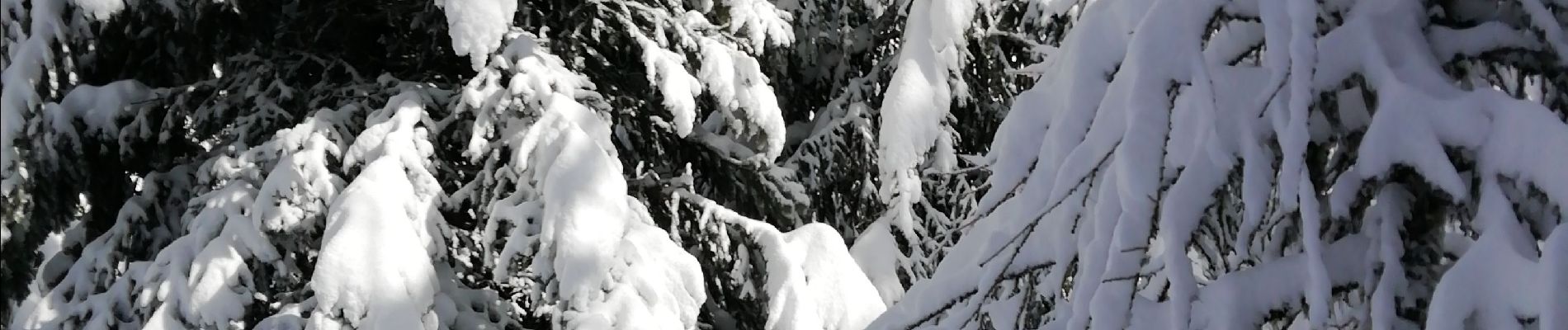
Trail Nordic walking of 6.8 km to be discovered at Auvergne-Rhône-Alpes, Savoy, Montricher-Albanne. This trail is proposed by laurentnecca.
Photos

Positioning
Country:
France
Region :
Auvergne-Rhône-Alpes
Department/Province :
Savoy
Municipality :
Montricher-Albanne
Location:
Montricher-le-Bochet
Start:(Dec)
Start:(UTM)
296587 ; 5011483 (32T) N.
Comments