


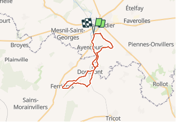

15.8 km | 18.3 km-effort


User


FREE GPS app for hiking
 SityTrail
IGN / Geographical institutes
SityTrail World
The world is yours!
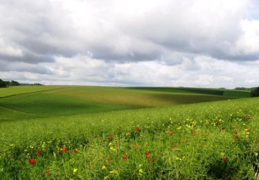
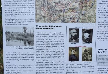
Trail Walking of 21 km to be discovered at Hauts-de-France, Somme, Montdidier. This trail is proposed by jpblimond.
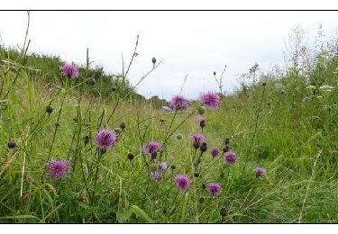
Chemin difficilement praticable entre "La Cressonière" et la "Vallée Coulevin". Des arbres ont été abattus. La circulation des Bulldozers a fortement endommagé le chemin.
Walking
Walking
Walking
Walking

Cycle
Cycle

Cycle

Walking
Other activity