Trail Walking Montdidier - Mondidier - Photo
© OpenStreetMap contributors
Length
Length
13.9 km
Max alt
Max alt
108 m
Uphill gradient
Uphill gradient
144 m
Km-Effort
Km-Effort  
15.8 km
Min alt
Min alt
48 m
Downhill gradient
Downhill gradient
144 m
Boucle
Boucle
Yes
Creation date :
2022-05-15 07:04:42.0
Updated on :
2022-05-15 10:21:08.068

(0 Reviews)

Walking
Walking
3h02
Difficulty : Medium

Scan this QR Code to open this trail in the SityTrail application

FREE GPS app for hiking

Logo SityTrail SityTrail

IGN / Geographical institutes

Download SityTrail from the App Store Download SityTrail from Google Play

Logo SityTrail SityTrail World

The world is yours!

Download SityTrail from the App Store Download SityTrail from Google Play Download SityTrail on Huawei AppGallery

About

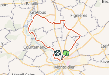
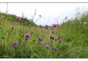
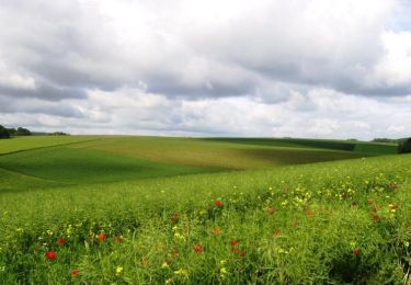
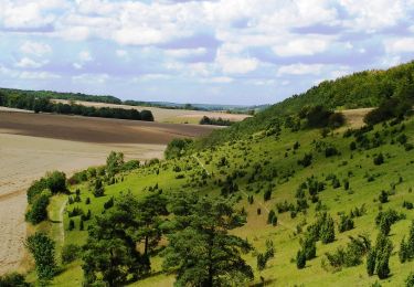
Trail Walking of 13.9 km to be discovered at Hauts-de-France, Somme, Montdidier. This trail is proposed by jema.bernard.

Description

Rando avec une bonne difficulté sur la fin

Elevation profile

Photos

Positioning

Country:
France
Region :
Hauts-de-France
Department/Province :
Somme
Municipality :
Montdidier
Location:
Unknown
Start:(UTM)
468762 ; 5499963 (31U) N.

Trails nearby

Trail Walking Montdidier - Circuit des Grands Champs - Montdidier - Photo
Walking
tracegps

Walking

Medium
(3)
Montdidier, Hauts-de-France, Somme, France
15.8 km | 18.3 km-effort
4h 0min
Yes
Trail Walking Montdidier - Cité Nord Mondidier  - Photo
Walking
jema.bernard

Walking

Easy
Montdidier, Hauts-de-France, Somme, France
11 km | 12 km-effort
2h 29min
Yes
Trail Walking Montdidier - Circuit de Saint Martin - Montdidier - Photo
Walking
tracegps

Walking

Medium
Montdidier, Hauts-de-France, Somme, France
14.4 km | 16.5 km-effort
3h 15min
Yes
Trail Cycle Montdidier - Les Trois Doms - Le Grand Tour - Photo
Cycle
tracegps

Cycle

Difficult
Montdidier, Hauts-de-France, Somme, France
55 km | 63 km-effort
3h 0min
Yes
Trail Cycle Montdidier - Les Trois Doms - Montdidier -Coullemelle - Photo
Cycle
tracegps

Cycle

Medium
Montdidier, Hauts-de-France, Somme, France
39 km | 45 km-effort
2h 15min
Yes
Trail Cycle Montdidier - Les Trois Doms - Montdidier - Hangest - Photo
Cycle
tracegps

Cycle

Difficult
Montdidier, Hauts-de-France, Somme, France
44 km | 49 km-effort
2h 30min
Yes
Trail Walking Fignières - La montagne de Fignière - Photo
Walking
tracegps

Walking

Medium
(1)
Fignières, Hauts-de-France, Somme, France
3.4 km | 4.1 km-effort
1h 0min
Yes
Trail Walking Montdidier - Les 3 Doms - Photo
Walking
jpblimond

Walking

Medium
Montdidier, Hauts-de-France, Somme, France
21 km | 23 km-effort
5h 4min
Yes
Trail Other activity Montdidier - Montdidier - Chemin du souvenir - Photo
Other activity
rarnaud

Other activity

Very easy
Montdidier, Hauts-de-France, Somme, France
7.8 km | 8.9 km-effort
2h 0min
Yes


Close
My subscriptions