


Sewen Fennematt Sewen

helmut68
User


4h57
Difficulty : Medium

FREE GPS app for hiking
 SityTrail
IGN / Geographical institutes
SityTrail Plus
The world is yours!
About
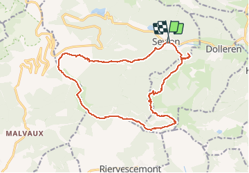
Trail Walking of 18.7 km to be discovered at Grand Est, Haut-Rhin, Sewen. This trail is proposed by helmut68.
Description
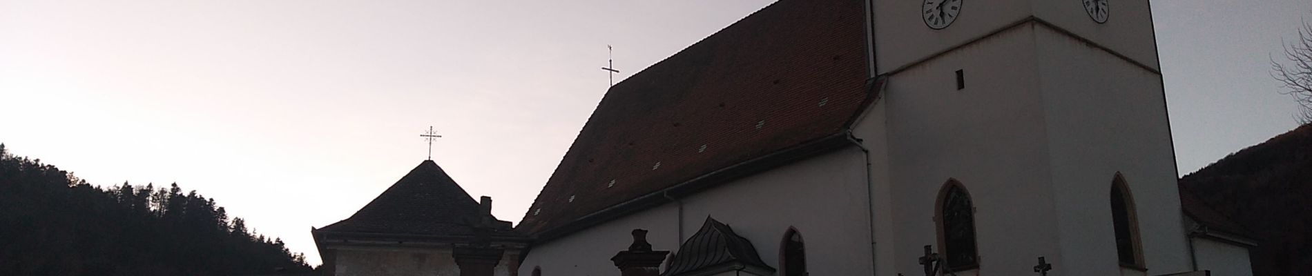
Départ place de l'église de Sewen . Suivre le balisage " triangle rouge" jusqu'à la ferme auberge du Grand Langenberg . De là suiver le balisage jusqu'à la piste de ski de la Gentiane . De la Gentiane à la Fennematt , il faudra emprunter le GR5 , balisage " rectangle rouge " jusqu'au niveau de la source de la Doller . De la ferme auberge Fennematt ( refaite à neuf ) suivre le balisage " rectangle bleu " jusqu'au refuge du Graber . Pour le retour à Sewen , c'est le cercle " rouge " qu'il faudra utiliser.
Très belle randonnée avec sur son parcours une superbe cascade , une vue splendide sur les Alpes suisses et françaises ainsi que les Vosges et la Forêt Noire .
Alors à vos chaussures...
Photos


22 photos in total. Please click on a photo to see them all in the gallery.
Positioning
Comments