


CORSUET: CHAMBOTTE - MEYRIEUX... au plus court !

djeepee74
User

Length
9.4 km

Max alt
846 m

Uphill gradient
283 m
Km-Effort
13.2 km

Min alt
642 m

Downhill gradient
281 m
Boucle
Yes
Creation date :
2020-03-15 12:34:05.081
Updated on :
2020-03-15 17:20:39.085
2h30
Difficulty : Easy

FREE GPS app for hiking
 SityTrail
IGN / Geographical institutes
SityTrail Plus
The world is yours!
About
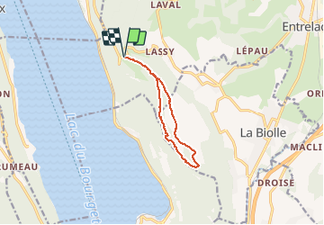
Trail Walking of 9.4 km to be discovered at Auvergne-Rhône-Alpes, Savoy, Entrelacs. This trail is proposed by djeepee74.
Description
Idéal pour un "décrassage" !
On débouche sur le sentier des crêtes à 250 m. au nord / ouest de la nouvelle croix du Meyrieux.
Positioning
Country:
France
Region :
Auvergne-Rhône-Alpes
Department/Province :
Savoy
Municipality :
Entrelacs
Location:
Saint-Germain-la-Chambotte
Start:(Dec)
Start:(UTM)
723490 ; 5073290 (31T) N.
Comments
merci