Trail Walking Champéry - Champéry - Auf den Spuren der Schmuggler - Photo

Champéry - Auf den Spuren der Schmuggler

© OpenStreetMap contributors
Length
Length
10.1 km
Max alt
Max alt
1974 m
Uphill gradient
Uphill gradient
579 m
Km-Effort
Km-Effort  
17.9 km
Min alt
Min alt
1484 m
Downhill gradient
Downhill gradient
596 m
Boucle
Boucle
No
Creation date :
2014-12-11 00:00:00.0
Updated on :
2014-12-11 00:00:00.0

(0 Reviews)

Walking
Walking
4h20
Difficulty : Unknown

Scan this QR Code to open this trail in the SityTrail application

FREE GPS app for hiking

Logo SityTrail SityTrail

IGN / Geographical institutes

Download SityTrail from the App Store Download SityTrail from Google Play

Logo SityTrail SityTrail Plus

The world is yours!

Download SityTrail from the App Store Download SityTrail from Google Play Download SityTrail on Huawei AppGallery

About

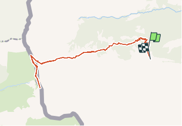
Trail Walking of 10.1 km to be discovered at Valais/Wallis, Monthey, Champéry. This trail is proposed by otchampery.

Description

Le sentier à tire d''ailes, lässt sie die Vogelwelt entdecken. Er führt sie zu einem der wichtigsten Observatorien in den Alpen. Von August bis Oktober fliegen hier tausende von zug- und Greifvögeln über den Pass in den Süden.

Elevation profile

Points of interest

Point of interest Champéry - Cantine des Dents Blanches - Photo
otchampery
Point of interest Champéry - Centre ornithologique - Photo
otchampery
Point of interest Samoëns - Point de Vue - Photo
otchampery
SAMOËNS 
Point of interest Champéry - Escalade - Photo
otchampery
CHAMPÉRY 
Point of interest Champéry - Cantine Barmaz - Photo
otchampery
CHAMPÉRY 
Point of interest Champéry - Départ - Photo
otchampery
CHAMPÉRY 
Point of interest Champéry - Arrivée - Photo
otchampery
CHAMPÉRY 

Positioning

Country:
Switzerland
Region :
Valais/Wallis
Department/Province :
Monthey
Municipality :
Champéry
Location:
Unknown
Start:(UTM)
332637 ; 5113208 (32T) N.


Close
My subscriptions