


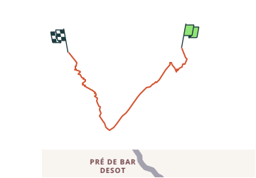

37 km | 70 km-effort


User


FREE GPS app for hiking
 SityTrail
IGN / Geographical institutes
SityTrail World
The world is yours!
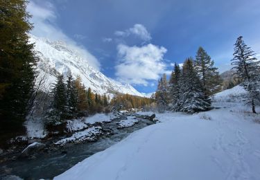
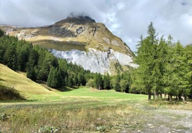
Trail Other activity of 9.4 km to be discovered at Valais/Wallis, Entremont, Orsières. This trail is proposed by sterrettaz.
Avant la partie sommitale (crampons) il est possilbe de monter plus à l''ouest pour éviter certains passages un peu raides...
On foot
On foot
On foot

Walking

Walking
Walking
Walking

Walking