


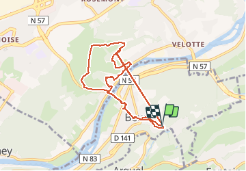


16.8 km | 24 km-effort

User


FREE GPS app for hiking
 SityTrail
IGN / Geographical institutes
SityTrail World
The world is yours!
Trail Walking of 10.7 km to be discovered at Bourgogne-Franche-Comté, Doubs, Beure. This trail is proposed by eltonnermou.
10,8 km réel.
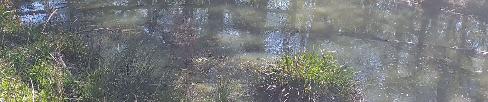
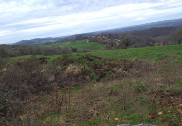
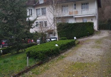
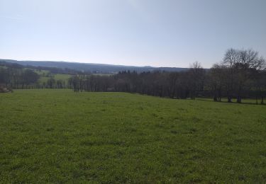
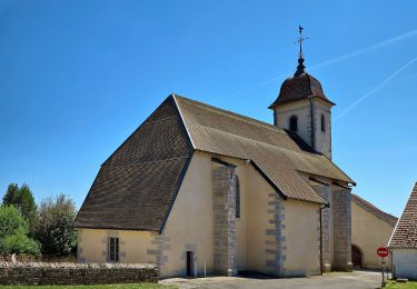
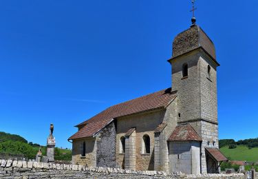
Ce beau parcours pédestre vous entrainera vers des cabordes bien reconstruites. Profitez des nombreux points de vue tout au long du parcours lors des 2 montées. faites une pause à la grotte en admirant le paysage. Admirez les cabordes et faites une pause sur les bancs près de la mare. Vous pourrez apprécier la diversité de la flore. De retour dans le village prenez le temps de visiter le quartier de Metz (prononcer mai). Admirer les 3 cascades lors de la remontée vers votre parking.


Walking
Walking

Walking
Walking
On foot
On foot
On foot
On foot
On foot