Trail Walking Saint-Hubert - Mirwart 13 Km D+ 334m - Photo

Mirwart 13 Km D+ 334m

© OpenStreetMap contributors
Length
Length
12.7 km
Max alt
Max alt
466 m
Uphill gradient
Uphill gradient
334 m
Km-Effort
Km-Effort  
17.1 km
Min alt
Min alt
247 m
Downhill gradient
Downhill gradient
335 m
Boucle
Boucle
Yes
Creation date :
02/04/2020 12:52
Updated on :
13/11/2020 20:03

(1 Reviews)

Walking
Walking
2h32
Difficulty : Medium

Scan this QR Code to open this trail in the SityTrail application

FREE GPS app for hiking

Logo SityTrail SityTrail

IGN / Geographical institutes

Download SityTrail from the App Store Download SityTrail from Google Play

Logo SityTrail SityTrail Plus

The world is yours!

Download SityTrail from the App Store Download SityTrail from Google Play Download SityTrail on Huawei AppGallery

About

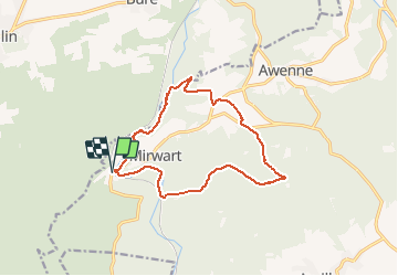
Trail Walking of 12.7 km to be discovered at Wallonia, Luxembourg, Saint-Hubert. This trail is proposed by cravattep.

Description

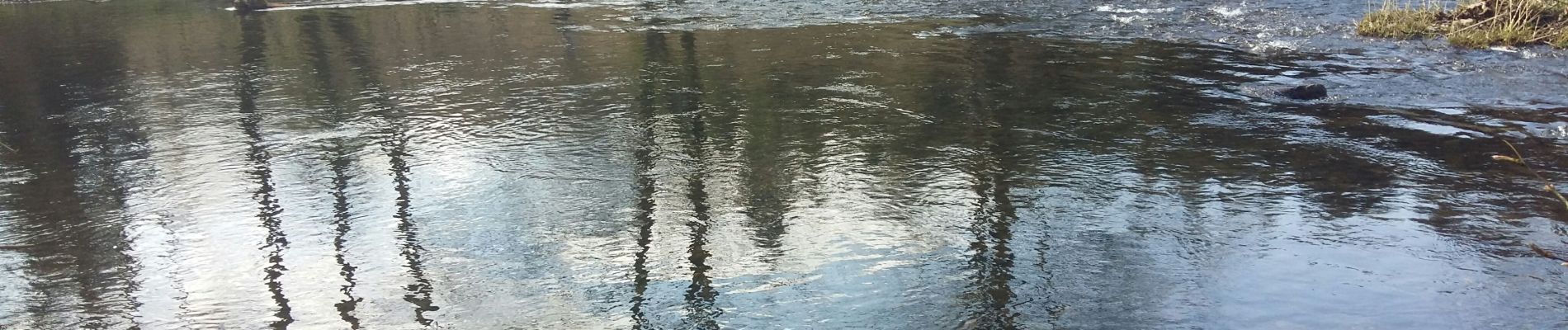
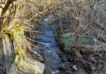
Départ en bas du village de Mirwart en longeant l'eau
Soudain, une petite grimpette ... hi hi hi
Par la suite ça continue de monter doucement avant d'entamer la seconde partie de la randonnée qui descend.
Profitez de la vue sur les étangs avant de rejoindre le point de départ

Elevation profile

Photos

Positioning

Country:
Belgium
Region :
Wallonia
Department/Province :
Luxembourg
Municipality :
Saint-Hubert
Location:
Mirwart
Start:(UTM)
661220 ; 5547032 (31U) N.

Comments

Please log in to post a review or rate the element


Close
My subscriptions