


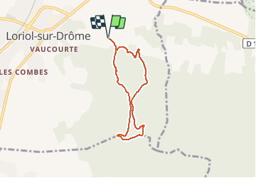

5.8 km | 8.4 km-effort

User


FREE GPS app for hiking
 SityTrail
IGN / Geographical institutes
SityTrail World
The world is yours!
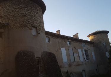
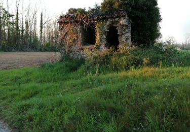
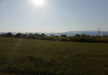
Trail Walking of 5.9 km to be discovered at Auvergne-Rhône-Alpes, Drôme, Loriol-sur-Drôme. This trail is proposed by crocau.
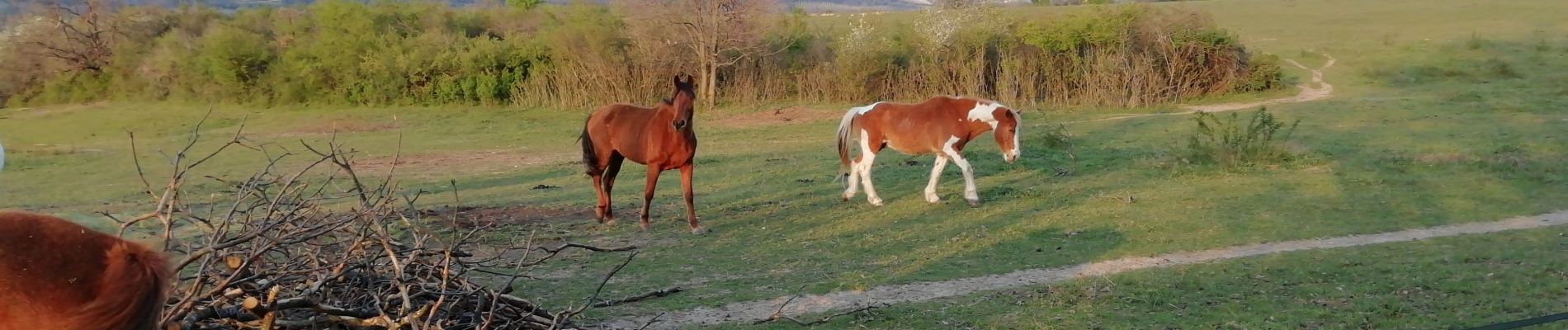
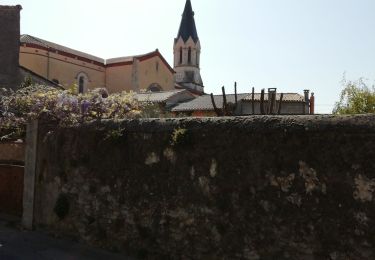
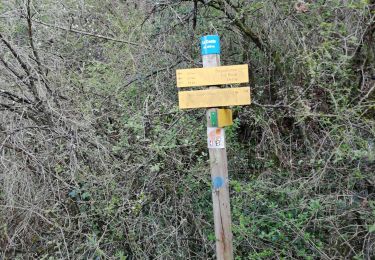
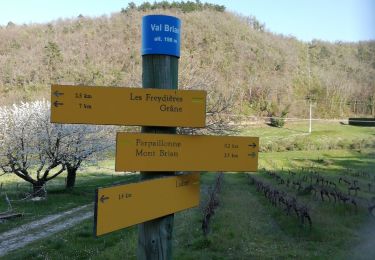
Depuis la N7, prendre rue Louis D'Arlestrier et monter vers le centre Sinno-Ressources. Emprunter le Chemin des bois et le quitter pour un tout petit sentier sur la droite en direction de Blanquinque. On passera à gauche de ce petit groupe de maisons. Entre les chênes, merle, rouge gorge et peut-être un roitelet.. beaucoup de traces de sangliers . Suivre ensuite le chemin de Forest et rattraper le large chemin de Roudignon.


Walking
Walking
Walking
Walking
Walking
Walking
Walking
Walking
Walking