


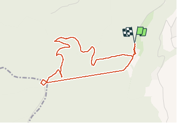


13.1 km | 17.5 km-effort

User


FREE GPS app for hiking
 SityTrail
IGN / Geographical institutes
SityTrail World
The world is yours!
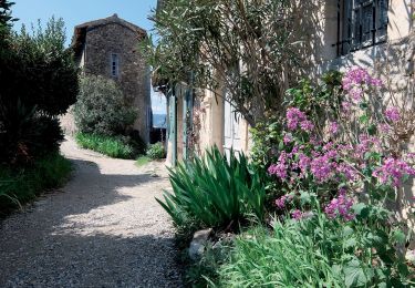
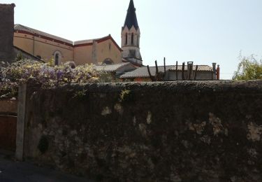
Trail Walking of 4.8 km to be discovered at Auvergne-Rhône-Alpes, Drôme, Grane. This trail is proposed by crocau.
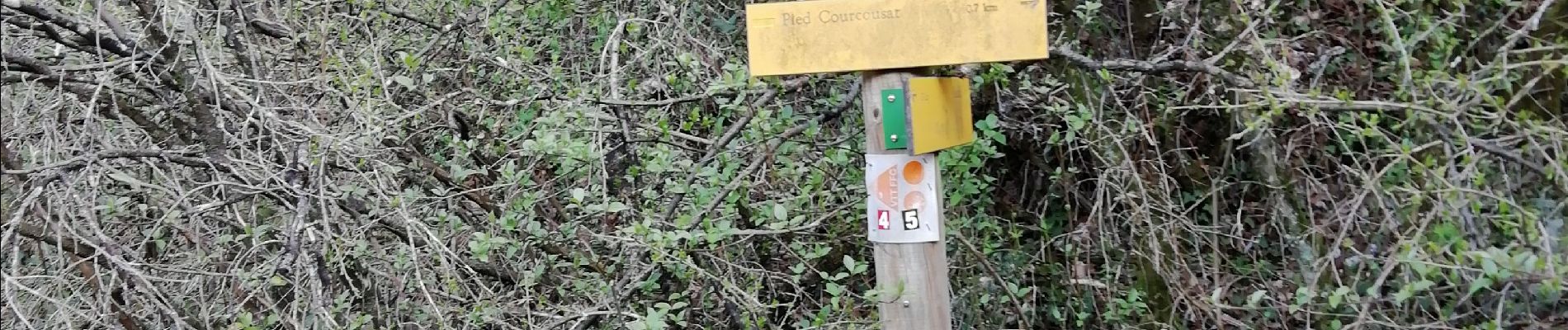
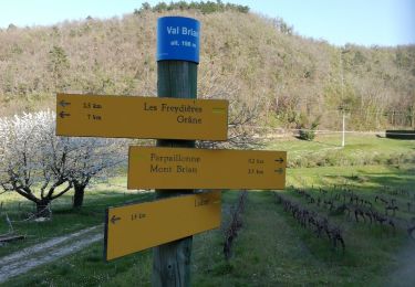
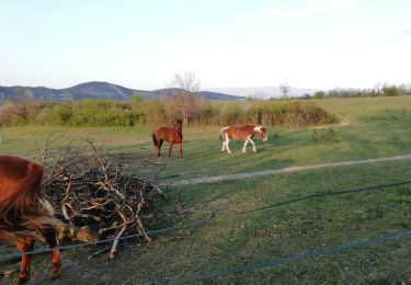
On traverse l'IME de Val Brian et on se laisse guider jusqu'au sommet. Beaucoup de bestioles à 4 pattes pour les plus observateurs. Arrivé au sommet ( aucun intérêt) on reprend le même chemin pour bifurquer rapidement sur la gauche . Val Brian est alors annoncé à 5,4 km. On prend ce chemin malgré tout, c'est là où le point de vue est le plus sympa. Il y a un chemin marqué d'une croix jaune. Paradoxalement c'est lui qu'il faut prendre, en plus c'est assez joli. On arrive ensuite à un carrefour qui nous propose d'aller à Val Brian soit par Les Costes soit par ? . Je préfère passer par les Costes. La balade est réduite à 1h30/2h grand max.


Walking

Walking
Walking
Walking
Walking
Walking
Walking
Walking
Walking