


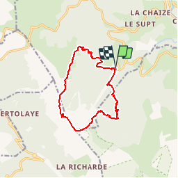

14.5 km | 23 km-effort


User


FREE GPS app for hiking
 SityTrail
IGN / Geographical institutes
SityTrail World
The world is yours!
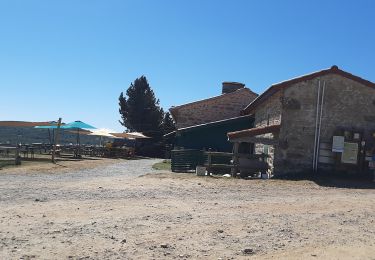
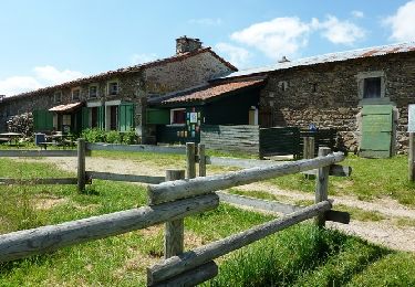
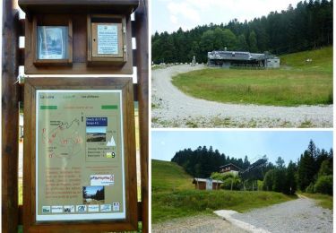
Trail Snowshoes of 13.5 km to be discovered at Auvergne-Rhône-Alpes, Loire, Chalmazel-Jeansagnière. This trail is proposed by cyclopat42600.
Un classique de la rando raquette dans les monts du Forez : le sommet de pierre sur haute en partant de la station de ski de Chalmazel.
On foot
On foot
Walking
Walking
Running

Walking

Walking
Running

Walking