


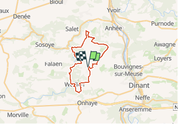


19.3 km | 26 km-effort

Randonnez sur et autour des GR ® wallons (Sentiers de Grande Randonnée). PRO


FREE GPS app for hiking
 SityTrail
IGN / Geographical institutes
SityTrail World
The world is yours!
Trail Walking of 20 km to be discovered at Wallonia, Namur, Onhaye. This trail is proposed by GR Rando.
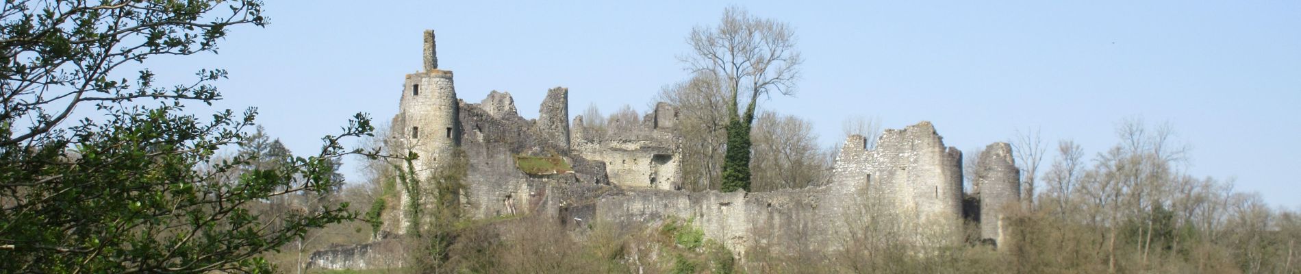
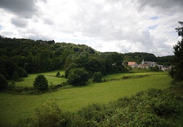
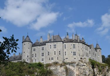
Sommière – Weillen – Montaigle – Haut-le-Wastia – Grange – Sommière
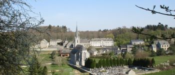
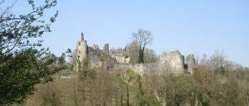
Au départ de Sommière, petit village de la commune de Onhaye, vous découvrirez d’abord le village de Weillen qui ne rougirait pas du titre de «Plus beau village de Wallonie» attribué à sa voisine Falaën. Vous rejoindrez ensuite la vallée du Flavion (ou Floyon), qui vous conduira jusqu’à son confluent avec la Molignée où se dressent les ruines du Château moyenâgeux de Montaigle.
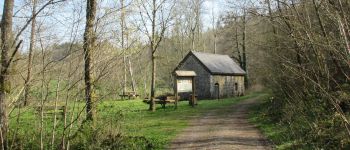
Une belle remontée boisée vous amènera à Haut-le-Wastia, également un très beau village qui fut le théâtre de féroces combats en 1940 en raison de sa position stratégique pour le passage de la Meuse. Le retour vers Sommière vous fera découvrir le plateau et les fermes de de Hontoir.


Walking

Walking

Walking
Walking

Walking

Walking

Walking

Walking
Walking