


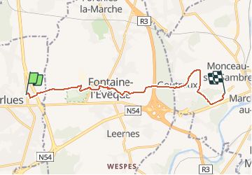


8.7 km | 10.9 km-effort


User


FREE GPS app for hiking
 SityTrail
IGN / Geographical institutes
SityTrail World
The world is yours!
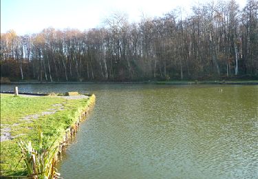
Trail On foot of 9.7 km to be discovered at Wallonia, Hainaut, Anderlues. This trail is proposed by Nicolas Guerlement.
GR412 : sentier des terrils
Walking

Walking

Walking
Walking
Walking
Walking
Walking

Walking
Walking