Trail Walking Freissinières - Fressiniere  les Roberts  Lac de la Lauze - Photo

Fressiniere les Roberts Lac de la Lauze

 Sorriaux
Sorriaux

User

© OpenStreetMap contributors
Length
Length
13.9 km
Max alt
Max alt
1902 m
Uphill gradient
Uphill gradient
604 m
Km-Effort
Km-Effort  
22 km
Min alt
Min alt
1414 m
Downhill gradient
Downhill gradient
601 m
Boucle
Boucle
Yes
Creation date :
2020-05-24 09:00:12.095
Updated on :
2020-05-24 15:29:03.445

(0 Reviews)

Walking
Walking
4h12
Difficulty : Medium

Scan this QR Code to open this trail in the SityTrail application

FREE GPS app for hiking

Logo SityTrail SityTrail

IGN / Geographical institutes

Download SityTrail from the App Store Download SityTrail from Google Play

Logo SityTrail SityTrail World

The world is yours!

Download SityTrail from the App Store Download SityTrail from Google Play Download SityTrail on Huawei AppGallery

About

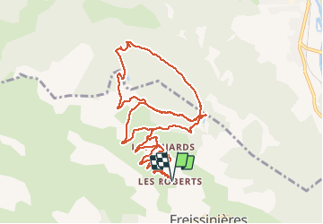
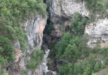
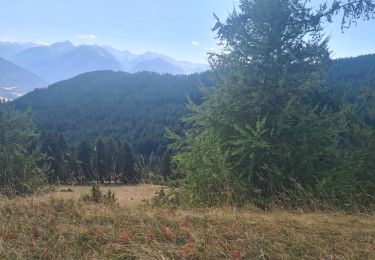
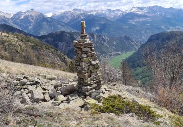
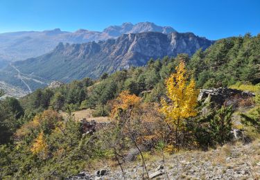
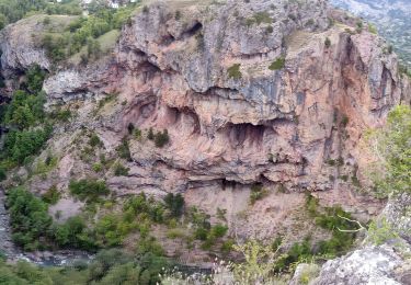
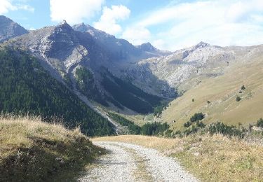
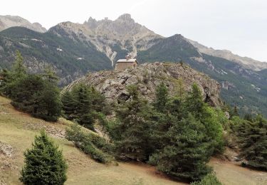
Trail Walking of 13.9 km to be discovered at Provence-Alpes-Côte d'Azur, Hautes-Alpes, Freissinières. This trail is proposed by Sorriaux.

Description

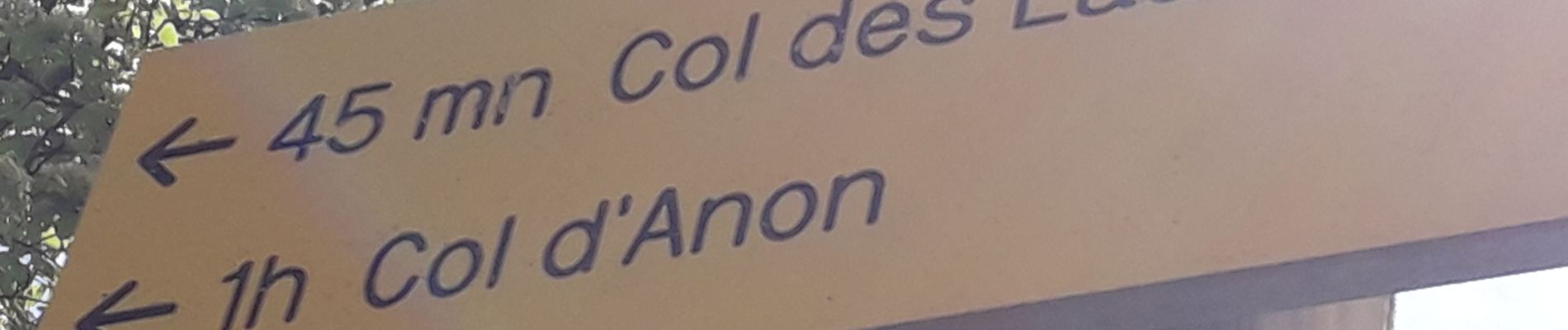
Boucle par le col Anon

Elevation profile

Photos

Positioning

Country:
France
Region :
Provence-Alpes-Côte d'Azur
Department/Province :
Hautes-Alpes
Municipality :
Freissinières
Location:
Unknown
Start:(UTM)
304580 ; 4959141 (32T) N.

Trails nearby

Trail Walking Freissinières - crête en bordure vallée Freissinieres - Photo
Walking
gildascb

Walking

Medium
(2)
Freissinières, Provence-Alpes-Côte d'Azur, Hautes-Alpes, France
14.7 km | 26 km-effort
4h 52min
Yes
Trail Walking Champcella - Gouffre de Gourfouran - Photo
Walking
CYCLOHC

Walking

Easy
(2)
Champcella, Provence-Alpes-Côte d'Azur, Hautes-Alpes, France
5.1 km | 8.1 km-effort
2h 2min
Yes
Trail Walking Champcella - FRESSINIERES - SEYES 16.3KM - Photo
Walking
jpb83

Walking

Medium
(1)
Champcella, Provence-Alpes-Côte d'Azur, Hautes-Alpes, France
16.3 km | 28 km-effort
5h 44min
Yes
Trail Mountain bike Freissinières - traversée fressiniere reotier - Photo
Mountain bike
tchoua

Mountain bike

Difficult
Freissinières, Provence-Alpes-Côte d'Azur, Hautes-Alpes, France
36 km | 52 km-effort
3h 32min
Yes
Trail Walking Freissinières - tour de fressiniere - Photo
Walking
tchoua

Walking

Medium
Freissinières, Provence-Alpes-Côte d'Azur, Hautes-Alpes, France
25 km | 43 km-effort
6h 16min
Yes
Trail Walking La Roche-de-Rame - la grande barre par cabane des aiguilles  - Photo
Walking
tchoua

Walking

Very difficult
La Roche-de-Rame, Provence-Alpes-Côte d'Azur, Hautes-Alpes, France
13.7 km | 27 km-effort
3h 34min
Yes
Trail Walking Champcella - 2020-09-10 Balade Gouffre du Gourfouran - Photo
Walking
GUIDE
holtzv

Walking

Very easy
Champcella, Provence-Alpes-Côte d'Azur, Hautes-Alpes, France
4.8 km | 7.8 km-effort
1h 14min
Yes
Trail Walking Freissinières - col de val-haute - Photo
Walking
gildascb

Walking

Easy
Freissinières, Provence-Alpes-Côte d'Azur, Hautes-Alpes, France
7.1 km | 13.5 km-effort
2h 52min
Yes
Trail Walking L'Argentière-la-Bessée - CR_Domitia_CJ_21_Argentiere_St-Martin-Queyrieres_20170915 - Photo
Walking
patrickdanilo

Walking

Very difficult
L'Argentière-la-Bessée, Provence-Alpes-Côte d'Azur, Hautes-Alpes, France
16.6 km | 27 km-effort
5h 57min
No


Close
My subscriptions