


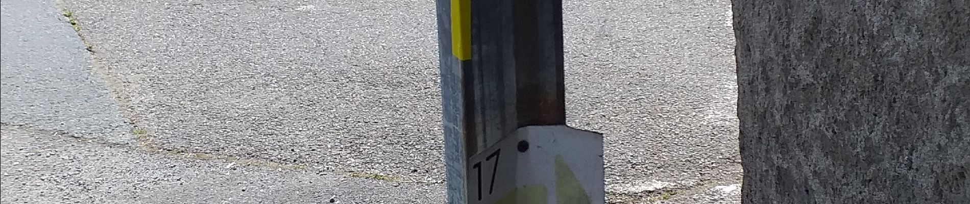
siros n17 nettoyé

LouisROGER
User GUIDE
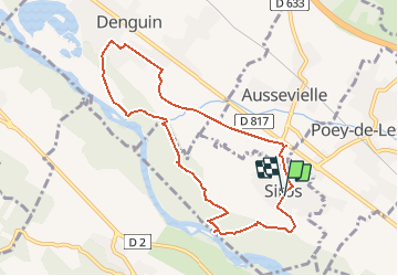

Length
9.2 km

Max alt
148 m

Uphill gradient
50 m
Km-Effort
9.8 km

Min alt
129 m

Downhill gradient
51 m
Boucle
Yes
Creation date :
2020-05-25 08:31:06.945
Updated on :
2020-05-26 08:35:46.038
3h35
Difficulty : Very easy

FREE GPS app for hiking
 SityTrail
IGN / Geographical institutes
SityTrail Plus
The world is yours!
About
Trail Walking of 9.2 km to be discovered at New Aquitaine, Pyrénées-Atlantiques, Siros. This trail is proposed by LouisROGER.
Photos


Positioning
Country:
France
Region :
New Aquitaine
Department/Province :
Pyrénées-Atlantiques
Municipality :
Siros
Location:
Unknown
Start:(Dec)
Start:(UTM)
703999 ; 4802031 (30T) N.
Comments