


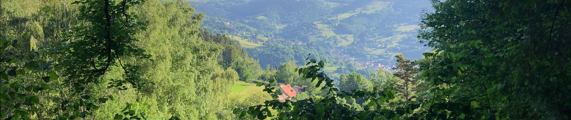
Tour vallée munster

nicolas dupré
User
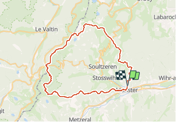

Length
35 km

Max alt
1281 m

Uphill gradient
1508 m
Km-Effort
55 km

Min alt
378 m

Downhill gradient
1501 m
Boucle
Yes
Creation date :
2020-05-25 04:56:32.0
Updated on :
2020-05-25 14:52:33.76
9h54
Difficulty : Unknown

FREE GPS app for hiking
 SityTrail
IGN / Geographical institutes
SityTrail Plus
The world is yours!
About
Trail Walking of 35 km to be discovered at Grand Est, Haut-Rhin, Munster. This trail is proposed by nicolas dupré.
Photos


Positioning
Country:
France
Region :
Grand Est
Department/Province :
Haut-Rhin
Municipality :
Munster
Location:
Unknown
Start:(Dec)
Start:(UTM)
361220 ; 5322914 (32U) N.
Comments