


BAUGES: LE REVARD - LA FECLAZ

djeepee74
User
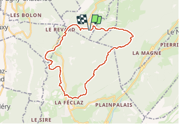

Length
17.2 km

Max alt
1501 m

Uphill gradient
426 m
Km-Effort
23 km

Min alt
1316 m

Downhill gradient
421 m
Boucle
Yes
Creation date :
2020-05-26 07:05:26.996
Updated on :
2020-05-26 15:48:03.094
4h30
Difficulty : Medium

FREE GPS app for hiking
 SityTrail
IGN / Geographical institutes
SityTrail Plus
The world is yours!
About
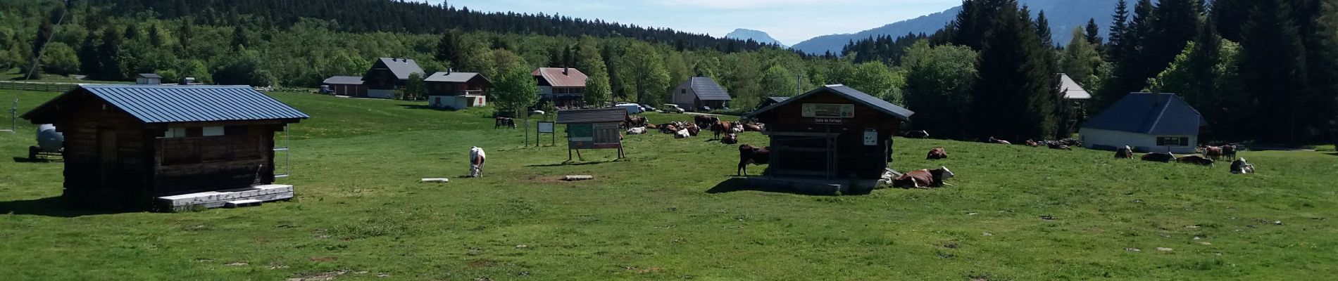
Trail Walking of 17.2 km to be discovered at Auvergne-Rhône-Alpes, Savoy, Montcel. This trail is proposed by djeepee74.
Description
BOUCLE... en live... 20200526
Photos


Positioning
Country:
France
Region :
Auvergne-Rhône-Alpes
Department/Province :
Savoy
Municipality :
Montcel
Location:
Unknown
Start:(Dec)
Start:(UTM)
733463 ; 5062855 (31T) N.
Comments