


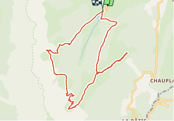

10.7 km | 18.9 km-effort

User


FREE GPS app for hiking
 SityTrail
IGN / Geographical institutes
SityTrail World
The world is yours!
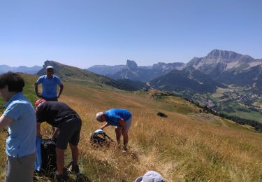
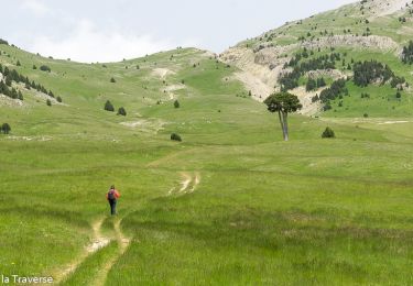
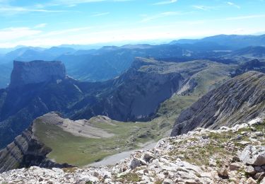
Trail Walking of 12.1 km to be discovered at Auvergne-Rhône-Alpes, Isère, Gresse-en-Vercors. This trail is proposed by patjobou.
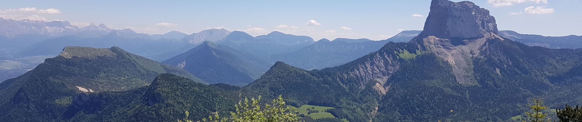
Très belle boucle. Très beaux paysages par un temps idéal.
En début de saison, il peut subsister des névés dans les combes sous le Grand Veymont. Le sentier sur l’arête de Quinquambaye entre les cotes 1735 m et 1678 m est bien visible, mais comporte des passages aériens. Déconseillé aux personnes sujettes au vertige; pour 'pieds sûrs'; à éviter par temps humide.
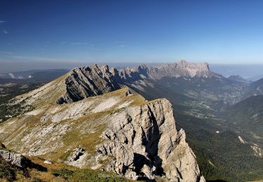
Refaite le 26/08/2021: idem, mais nuageux le matin. Plus de névé à cette époque. Le chemin sur la crête est correct, mais il faut etre prudent.


Walking

Walking
Walking
Walking
Walking
Walking
Snowshoes
Walking
Walking
super beau et agréable en ces temps de début de déconfinement