


30052020

ffdur
User

Length
21 km

Max alt
486 m

Uphill gradient
347 m
Km-Effort
25 km

Min alt
345 m

Downhill gradient
345 m
Boucle
Yes
Creation date :
2020-05-30 05:26:37.23
Updated on :
2020-05-30 09:26:41.788
3h58
Difficulty : Medium

FREE GPS app for hiking
 SityTrail
IGN / Geographical institutes
SityTrail Plus
The world is yours!
About
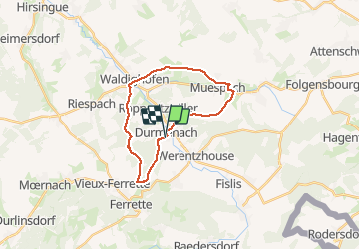
Trail Walking of 21 km to be discovered at Grand Est, Haut-Rhin, Durmenach. This trail is proposed by ffdur.
Positioning
Country:
France
Region :
Grand Est
Department/Province :
Haut-Rhin
Municipality :
Durmenach
Location:
Unknown
Start:(Dec)
Start:(UTM)
374902 ; 5264884 (32T) N.
Comments