


11 km | 13 km-effort

User


FREE GPS app for hiking
 SityTrail
IGN / Geographical institutes
SityTrail World
The world is yours!
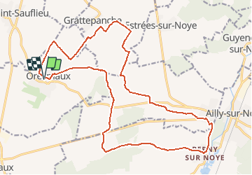
Trail Walking of 22 km to be discovered at Hauts-de-France, Somme, Oresmaux. This trail is proposed by fitz2014.
À partir d'Oresmaux, découverte du larris de Grattepanche en passant par le Fond de l'Absous. Le retour vers Oresmaux permet de découvrir la Vallée Coquillette


Walking

On foot
Walking

Mountain bike
Mountain bike
Walking
Walking
Walking


sport
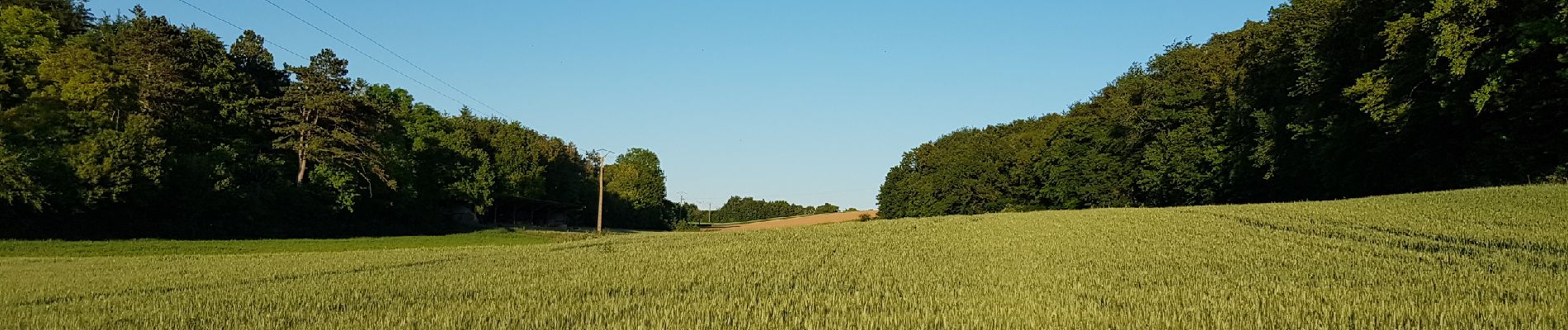
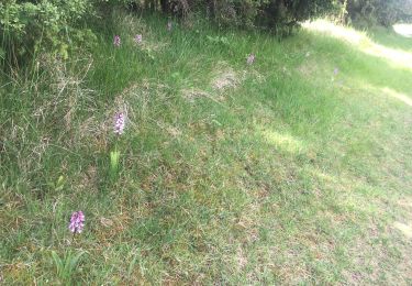
paysages variés