Trail Walking Quinson - basses-gorges-du-verdon-quinson - Photo
 affinetataille
affinetataille

User GUIDE

© OpenStreetMap contributors
Length
Length
12.7 km
Max alt
Max alt
548 m
Uphill gradient
Uphill gradient
307 m
Km-Effort
Km-Effort  
16.8 km
Min alt
Min alt
359 m
Downhill gradient
Downhill gradient
307 m
Boucle
Boucle
Yes
Creation date :
2020-05-30 14:14:16.529
Updated on :
2021-03-25 20:10:58.042

(4 Reviews)

Walking
Walking
2h54
Difficulty : Medium

Scan this QR Code to open this trail in the SityTrail application

FREE GPS app for hiking

Logo SityTrail SityTrail

IGN / Geographical institutes

Download SityTrail from the App Store Download SityTrail from Google Play

Logo SityTrail SityTrail World

The world is yours!

Download SityTrail from the App Store Download SityTrail from Google Play Download SityTrail on Huawei AppGallery

About

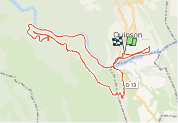
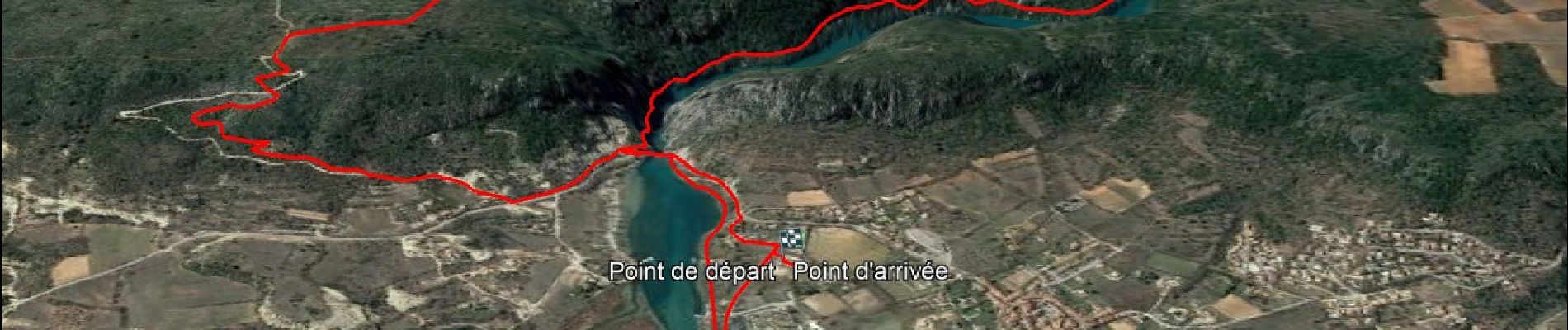
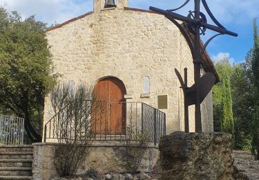
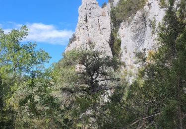
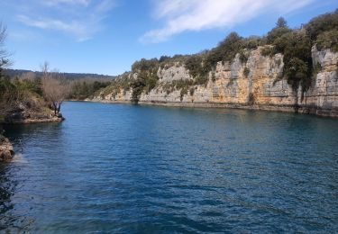
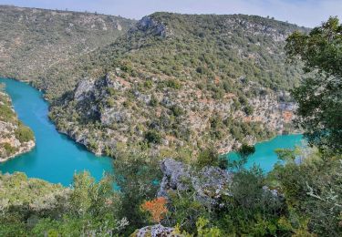
Trail Walking of 12.7 km to be discovered at Provence-Alpes-Côte d'Azur, Alpes-de-Haute-Provence, Quinson. This trail is proposed by affinetataille.

Elevation profile

Photos

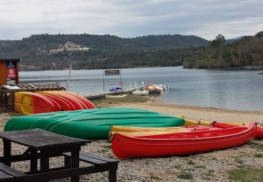
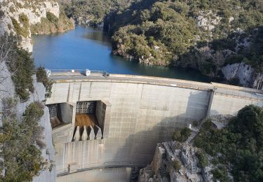
23 photos in total. Please click on a photo to see them all in the gallery.

Positioning

Country:
France
Region :
Provence-Alpes-Côte d'Azur
Department/Province :
Alpes-de-Haute-Provence
Municipality :
Quinson
Location:
Unknown
Start:(UTM)
261372 ; 4842538 (32T) N.

Comments

Please log in to post a review or rate the element


Une randonnée à faire hors saison. Devenue très fréquentée pour ceux qui l’ont connue il y a 10 ans La vidéo du parcours filmée en partie avec un drone https://youtu.be/NvCDoIu26Xk


GR 99


Trails nearby

Trail Walking Montagnac-Montpezat - coteau Chiron - Photo
Walking
aubr

Walking

Medium
(1)
Montagnac-Montpezat, Provence-Alpes-Côte d'Azur, Alpes-de-Haute-Provence, France
5.5 km | 6.8 km-effort
1h 37min
Yes
Trail Walking Quinson - 2023-01-27 Quinson - Chemin de l'eau et retour rive droite  - Photo
Walking
GUIDE
Kargil

Walking

Difficult
Quinson, Provence-Alpes-Côte d'Azur, Alpes-de-Haute-Provence, France
17 km | 23 km-effort
4h 44min
Yes
Trail Walking Artignosc-sur-Verdon - 11-10-2022 Artignosc - Baudinard - Photo
Walking
GUIDE
Kargil

Walking

Difficult
Artignosc-sur-Verdon, Provence-Alpes-Côte d'Azur, Var, France
16.9 km | 22 km-effort
3h 42min
Yes
Trail Walking Quinson - 02/10/2022 Quinson - Sentier de la préhistoire - Source de Poiraque - Photo
Walking
GUIDE
Kargil

Walking

Medium
Quinson, Provence-Alpes-Côte d'Azur, Alpes-de-Haute-Provence, France
11.4 km | 15.7 km-effort
3h 11min
Yes
Trail Walking Saint-Laurent-du-Verdon - 02-04-2022 Saint Laurent et son lac - Photo
Walking
GUIDE
Kargil

Walking

Easy
Saint-Laurent-du-Verdon, Provence-Alpes-Côte d'Azur, Alpes-de-Haute-Provence, France
7 km | 8.8 km-effort
2h 9min
Yes
Trail Walking Montmeyan - Verdon Sentier garde canal 05/03/2021 - Photo
Walking
GUIDE
R@ph

Walking

Difficult
Montmeyan, Provence-Alpes-Côte d'Azur, Var, France
9.1 km | 13.9 km-effort
3h 16min
Yes
Trail Walking Quinson - Chapelle Ste maxime, par les basses gorges du Verdon - Photo
Walking
jmheydorff

Walking

Very difficult
(2)
Quinson, Provence-Alpes-Côte d'Azur, Alpes-de-Haute-Provence, France
10.6 km | 15.9 km-effort
3h 48min
Yes
Trail Walking Quinson - Circuit Saint Maxime-basses gorges - Photo
Walking
vacances83

Walking

Difficult
(2)
Quinson, Provence-Alpes-Côte d'Azur, Alpes-de-Haute-Provence, France
9.3 km | 13.6 km-effort
Unknown
No
Trail Mountain bike Quinson - grillon2 - Photo
Mountain bike
johan004

Mountain bike

Difficult
(1)
Quinson, Provence-Alpes-Côte d'Azur, Alpes-de-Haute-Provence, France
19 km | 24 km-effort
Unknown
Yes


Close
My subscriptions