


Col du Platzerwasel-Markstein

sit68000
User


Length
19.7 km

Max alt
1307 m

Uphill gradient
507 m
Km-Effort
26 km

Min alt
1104 m

Downhill gradient
505 m
Boucle
Yes
Creation date :
2020-06-01 12:53:11.308
Updated on :
2020-06-01 21:41:12.543
2h30
Difficulty : Medium

FREE GPS app for hiking
 SityTrail
IGN / Geographical institutes
SityTrail Plus
The world is yours!
About
Trail Mountain bike of 19.7 km to be discovered at Grand Est, Haut-Rhin, Mittlach. This trail is proposed by sit68000.
Description
Départ au parking près du Col du Platzerwasel puis direction la ferme-auberge Uff Rain.
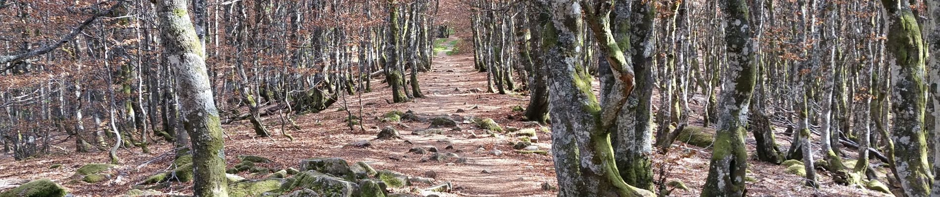
Photos


Positioning
Country:
France
Region :
Grand Est
Department/Province :
Haut-Rhin
Municipality :
Mittlach
Location:
Unknown
Start:(Dec)
Start:(UTM)
353896 ; 5314777 (32T) N.
Comments