


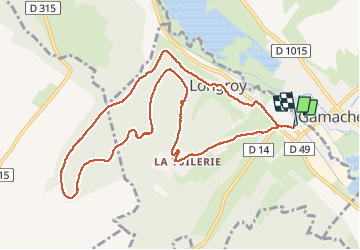

13.2 km | 16.8 km-effort


User


FREE GPS app for hiking
 SityTrail
IGN / Geographical institutes
SityTrail World
The world is yours!
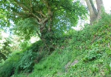
Trail Walking of 10.5 km to be discovered at Normandy, Seine-Maritime, Longroy. This trail is proposed by marcel.F.
Départ gite Le Goeland 5 route de Gamaches à Longroy

Walking
On foot

On foot
Walking

Walking

Equestrian
Mountain bike

Walking