


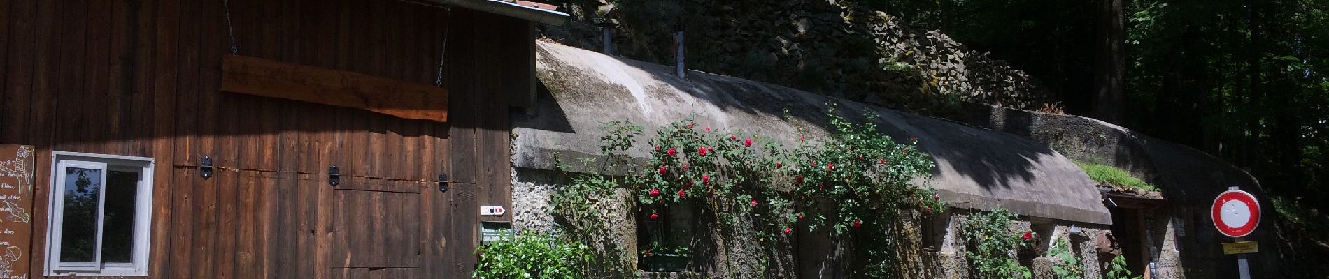
Wattwiller-Cantine Zeller-Hirtzenstein

JCLUTT
User
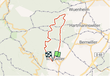

Length
11.9 km

Max alt
734 m

Uphill gradient
479 m
Km-Effort
18.3 km

Min alt
349 m

Downhill gradient
480 m
Boucle
Yes
Creation date :
2020-05-28 10:40:00.0
Updated on :
2020-06-04 07:16:30.382
5h34
Difficulty : Medium

FREE GPS app for hiking
 SityTrail
IGN / Geographical institutes
SityTrail Plus
The world is yours!
About
Trail Walking of 11.9 km to be discovered at Grand Est, Haut-Rhin, Wattwiller. This trail is proposed by JCLUTT.
Description
Belle petite randonnée pour une remise en conditions !
Photos


Positioning
Country:
France
Region :
Grand Est
Department/Province :
Haut-Rhin
Municipality :
Wattwiller
Location:
Unknown
Start:(Dec)
Start:(UTM)
363650 ; 5299605 (32T) N.
Comments