


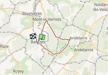


15.6 km | 21 km-effort

User


FREE GPS app for hiking
 SityTrail
IGN / Geographical institutes
SityTrail World
The world is yours!
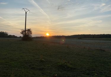
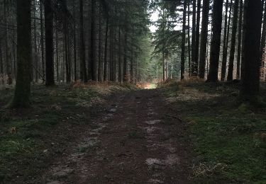
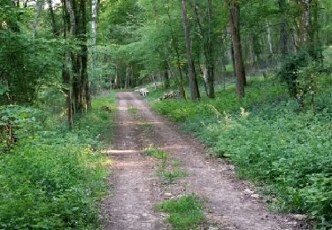
Trail Walking of 9.7 km to be discovered at Bourgogne-Franche-Comté, Haute-Saône, Baignes. This trail is proposed by nicolasdresse.
Des forges de baignes jusqu à la superbe maison autonome des évêques ( coup de chapeau à son propriétaire) andelarre, mont le vernois et retour sur baignes.
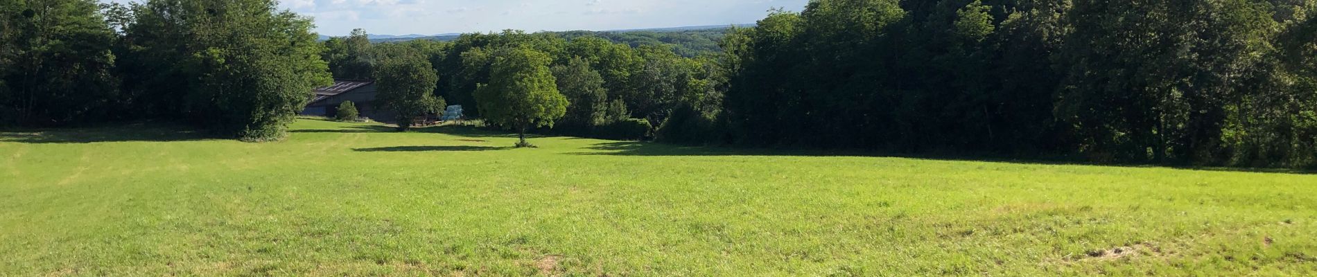
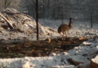
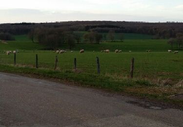
Belle randonnée en famille


Walking
Walking
Walking
Other activity
Walking

On foot

Walking
On foot
Walking