


2020 06 Neuweier Lac des perches

staubalex
User
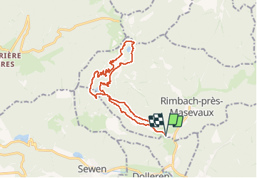

Length
14.9 km

Max alt
1147 m

Uphill gradient
729 m
Km-Effort
25 km

Min alt
534 m

Downhill gradient
731 m
Boucle
Yes
Creation date :
2020-06-11 19:23:29.657
Updated on :
2020-06-11 19:25:17.3
5h02
Difficulty : Very difficult

FREE GPS app for hiking
 SityTrail
IGN / Geographical institutes
SityTrail Plus
The world is yours!
About
Trail Walking of 14.9 km to be discovered at Grand Est, Haut-Rhin, Rimbach-près-Masevaux. This trail is proposed by staubalex.
Positioning
Country:
France
Region :
Grand Est
Department/Province :
Haut-Rhin
Municipality :
Rimbach-près-Masevaux
Location:
Unknown
Start:(Dec)
Start:(UTM)
345795 ; 5298158 (32T) N.
Comments