


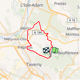

16 km | 20 km-effort


User


FREE GPS app for hiking
 SityTrail
IGN / Geographical institutes
SityTrail World
The world is yours!
Trail Walking of 19.3 km to be discovered at Ile-de-France, Val-d'Oise, Saint-Prix. This trail is proposed by PatRando.
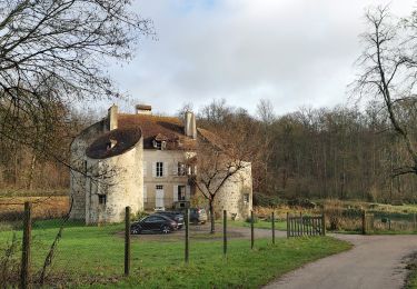
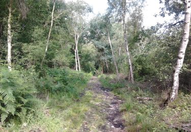
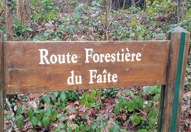
Forêt


Walking

Mountain bike
Walking

Equestrian

Mountain bike
Walking

Walking

Walking

Walking