


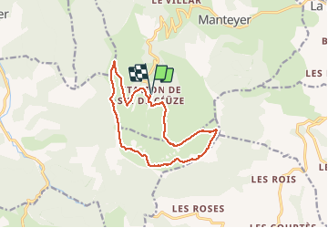

9.6 km | 15.6 km-effort


User


FREE GPS app for hiking
 SityTrail
IGN / Geographical institutes
SityTrail World
The world is yours!
Trail Walking of 13.9 km to be discovered at Provence-Alpes-Côte d'Azur, Hautes-Alpes, Manteyer. This trail is proposed by pcugnod.
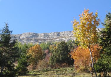
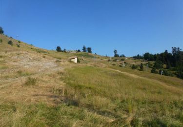
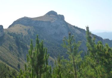
une randonnée magnifique avec une découverte de la flore exceptionnelle et le passage au marais de Raux. La montée est raide mais le panorama est superbe avec une une vue jusqu'au entour et sur le bassin de Gap.


Walking

Mountain bike

Mountain bike

Mountain bike
Running

Mountain bike
Mountain bike

Mountain bike
Mountain bike