


MM2 camp deGer

LouisROGER
User GUIDE
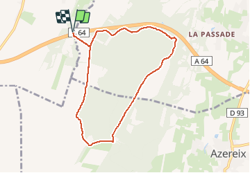

Length
8.5 km

Max alt
446 m

Uphill gradient
153 m
Km-Effort
10.5 km

Min alt
326 m

Downhill gradient
153 m
Boucle
Yes
Creation date :
2019-09-30 06:43:25.709
Updated on :
2020-06-16 08:08:20.241
2h10
Difficulty : Very easy

FREE GPS app for hiking
 SityTrail
IGN / Geographical institutes
SityTrail Plus
The world is yours!
About
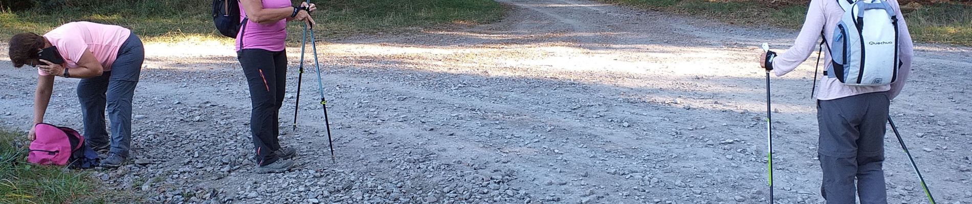
Trail Nordic walking of 8.5 km to be discovered at New Aquitaine, Pyrénées-Atlantiques, Ger. This trail is proposed by LouisROGER.
Photos

Positioning
Country:
France
Region :
New Aquitaine
Department/Province :
Pyrénées-Atlantiques
Municipality :
Ger
Location:
Unknown
Start:(Dec)
Start:(UTM)
739846 ; 4790846 (30T) N.
Comments