


Saint Vincent M1

LouisROGER
User GUIDE
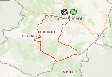

Length
7.9 km

Max alt
500 m

Uphill gradient
277 m
Km-Effort
11.6 km

Min alt
339 m

Downhill gradient
277 m
Boucle
Yes
Creation date :
2020-06-17 11:59:07.176
Updated on :
2020-06-17 14:14:54.154
2h14
Difficulty : Very easy

FREE GPS app for hiking
 SityTrail
IGN / Geographical institutes
SityTrail Plus
The world is yours!
About
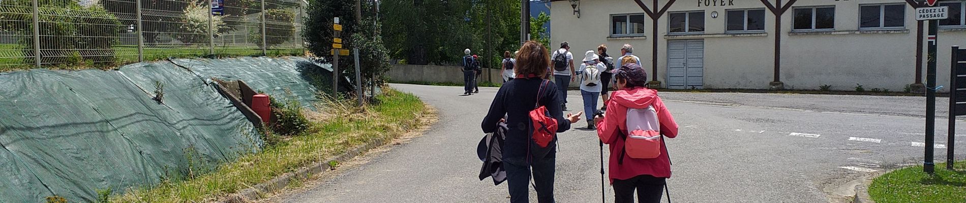
Trail Walking of 7.9 km to be discovered at New Aquitaine, Pyrénées-Atlantiques, Saint-Vincent. This trail is proposed by LouisROGER.
Photos

Positioning
Country:
France
Region :
New Aquitaine
Department/Province :
Pyrénées-Atlantiques
Municipality :
Saint-Vincent
Location:
Unknown
Start:(Dec)
Start:(UTM)
731783 ; 4782657 (30T) N.
Comments