


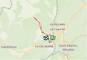
Baus Frema, Tête du Brec et Mont Petoumier départ Colmiane

GrouGary
User


6h30
Difficulty : Medium

FREE GPS app for hiking
 SityTrail
IGN / Geographical institutes
SityTrail Plus
The world is yours!
About
Trail Walking of 12.5 km to be discovered at Provence-Alpes-Côte d'Azur, Maritime Alps, Valdeblore. This trail is proposed by GrouGary.
Description
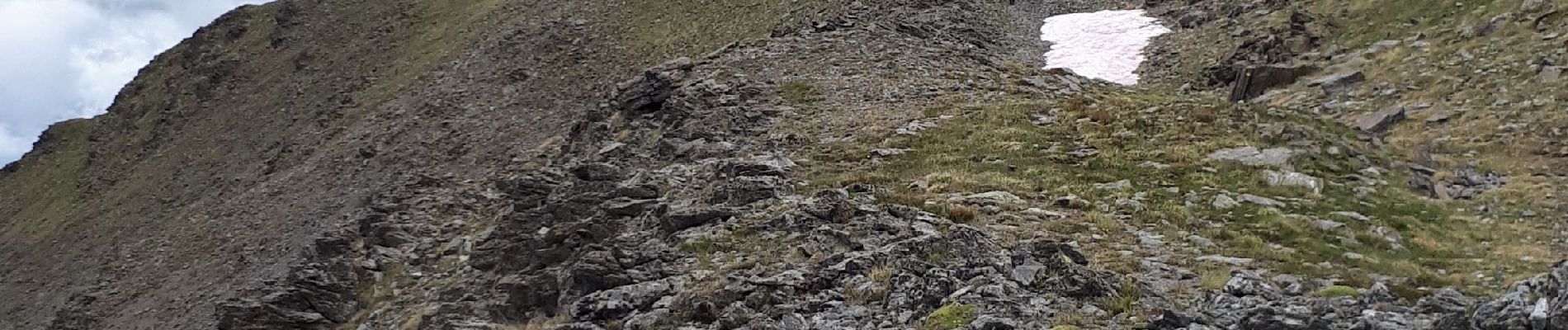
Un petit air de Mongolie du Baus de la frema au Pétoumier : grandes pelouses herbeuses et nombreux chevaux. Mont Pépoiri à peine distinct dans le rideau brumeux qui s'étire.
Attention aux chevaux : Ne pas traverser leur "territoire" et le contourner car ils foncent au galop sur tout intrus.
Photos


Positioning
Comments