


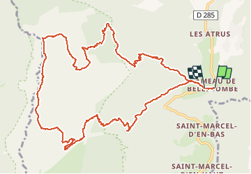

14.8 km | 35 km-effort


User


FREE GPS app for hiking
 SityTrail
IGN / Geographical institutes
SityTrail World
The world is yours!
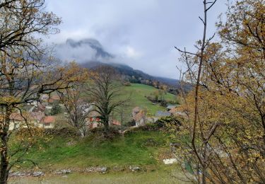
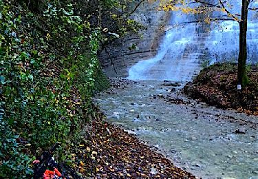
Trail Walking of 14.9 km to be discovered at Auvergne-Rhône-Alpes, Isère, Chapareillan. This trail is proposed by Masciave Loris.
départ Bellecombe>porte de l'alpette>pas des barres>sommet>pas de la porte>bellecombe

Walking

Walking

Walking

Walking
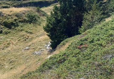
Walking
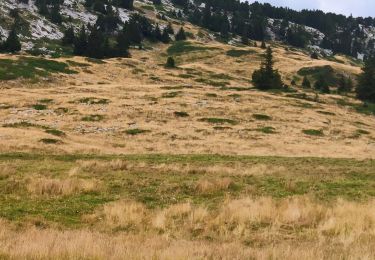
Walking
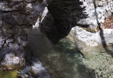
Walking
Walking
Mountain bike