


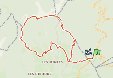


14.8 km | 35 km-effort

User


FREE GPS app for hiking
 SityTrail
IGN / Geographical institutes
SityTrail World
The world is yours!
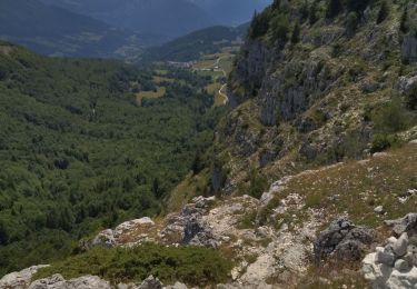
Trail Walking of 12.7 km to be discovered at Auvergne-Rhône-Alpes, Savoy, Apremont. This trail is proposed by nadd73.
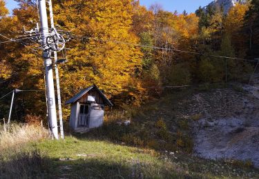
Départ col du Granier, un peu de neige mais ça passe mais ça glisse aussi..


Walking

Walking

Walking

Walking

Snowshoes
Walking
Walking
Walking
Walking