


6.8 km | 8.6 km-effort


User


FREE GPS app for hiking
 SityTrail
IGN / Geographical institutes
SityTrail World
The world is yours!
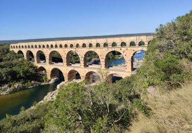
Trail Walking of 13.6 km to be discovered at Occitania, Gard, Collias. This trail is proposed by dansmabulle.
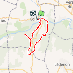
COLLIAS - ROCHERS TROUES - ERMITAGE LAVAL-COLIAS
13.6Km - 04h00
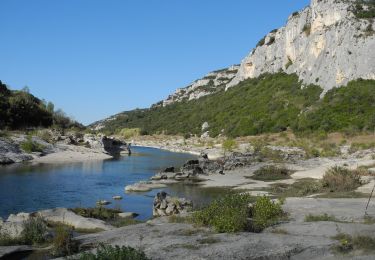
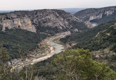
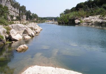
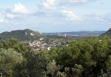
Départ randonnée : Parking prés du pont (payant en été) à Colias (Gard 30) Rochers Troués et Ermitage de Laval-Colias.Circuit de 13km sans difficultés, cumul des dénivelés de 530m, amplitude 175m.Départ 9h30 arrivée 17h.Belle balade dans un vallon encaissé vers le début et en crête pour une bonne partie, avec vue sur le ventoux , les alpilles d’une part et le mont lozére ,l’aigoual , le mont bouquet d’autre part.A part ceci les points forts du parcours sont 1) L’ermitage(chapelle et partie troglodyte) et le mas de Laval2) Les rochers troués qui demandent un aller retour visible sur le tracé GPS.Au bout de ce tracé vous pouvez continuer encore un peu sur une trace qui descend pour trouver au moins 2 autres grottes.3)L’ancienne route(Napoléonienne) de Nîmes plongeant sur Colias . Bonne randonnée

Walking

Walking

Running

Walking
Walking
Walking
On foot
Walking
Walking