


20200625 pla de la Begoude

ThonyM
User


Length
14.4 km

Max alt
2294 m

Uphill gradient
693 m
Km-Effort
24 km

Min alt
1600 m

Downhill gradient
692 m
Boucle
Yes
Creation date :
2020-06-25 06:32:32.0
Updated on :
2020-06-25 12:35:51.425
5h18
Difficulty : Medium

FREE GPS app for hiking
 SityTrail
IGN / Geographical institutes
SityTrail Plus
The world is yours!
About
Trail Walking of 14.4 km to be discovered at Occitania, Pyrénées-Orientales, Eyne. This trail is proposed by ThonyM.
Description
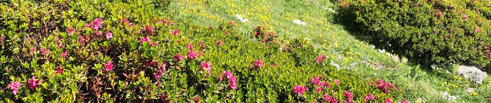
Magnifique vallée d’Eyne
Photos


Positioning
Country:
France
Region :
Occitania
Department/Province :
Pyrénées-Orientales
Municipality :
Eyne
Location:
Unknown
Start:(Dec)
Start:(UTM)
424511 ; 4702333 (31T) N.
Comments