


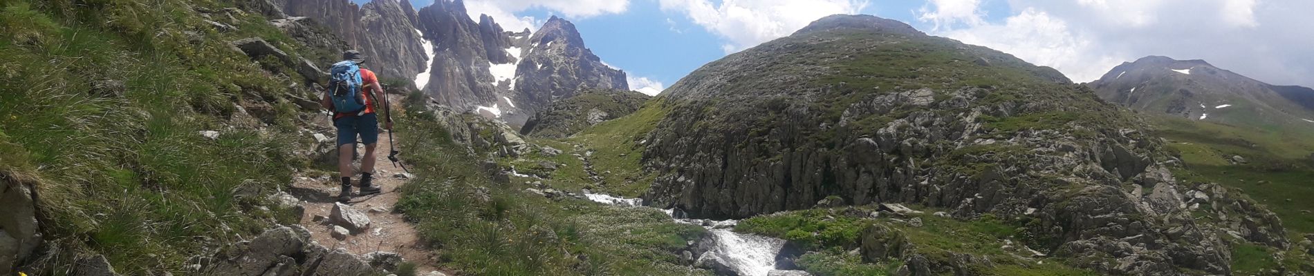
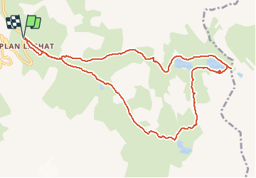
plan lachat le tour des lacs à Valloire

yves12
User

Length
11.8 km

Max alt
2583 m

Uphill gradient
665 m
Km-Effort
21 km

Min alt
1965 m

Downhill gradient
665 m
Boucle
Yes
Creation date :
2020-07-02 11:01:59.972
Updated on :
2020-07-02 17:07:55.274
3h19
Difficulty : Easy

FREE GPS app for hiking
 SityTrail
IGN / Geographical institutes
SityTrail Plus
The world is yours!
About
Trail Walking of 11.8 km to be discovered at Auvergne-Rhône-Alpes, Savoy, Valloire. This trail is proposed by yves12.
Photos


Positioning
Country:
France
Region :
Auvergne-Rhône-Alpes
Department/Province :
Savoy
Municipality :
Valloire
Location:
Unknown
Start:(Dec)
Start:(UTM)
298197 ; 4996158 (32T) N.
Comments