


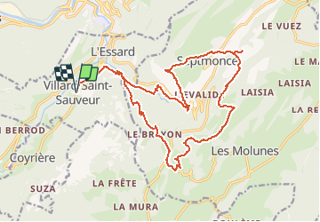

16.3 km | 31 km-effort

User


FREE GPS app for hiking
 SityTrail
IGN / Geographical institutes
SityTrail World
The world is yours!
Trail On foot of 23 km to be discovered at Bourgogne-Franche-Comté, Jura, Villard-Saint-Sauveur. This trail is proposed by mpstoop.
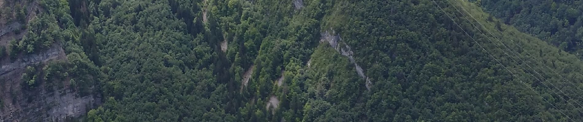
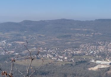
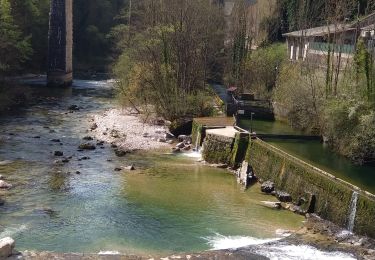
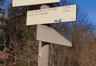
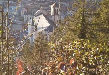
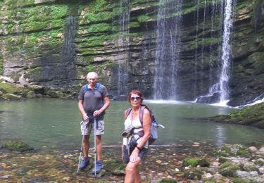
RAVIN ET CRETES DEPUIS VILLARS JUSQU'A SEPTMONCEL ET RETOUR PAR LES HAUTS PLATEAUX DU JURA - FLORE CALCICOLE REMARQUABLE DE PREFERENCE EN ETE . VASTES POINT DE VUES EN CRETES . FORTES DENIVELEES PHYSIQUES ET PARFOIS DELICATES


Walking

Running

Walking
Walking
Walking
Walking
Walking
Walking
Walking