


1.2 km | 1.4 km-effort


User


FREE GPS app for hiking
 SityTrail
IGN / Geographical institutes
SityTrail World
The world is yours!
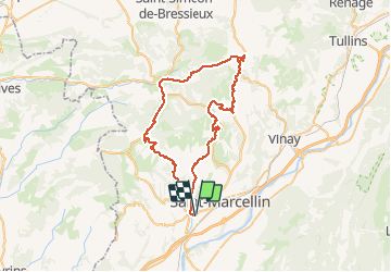
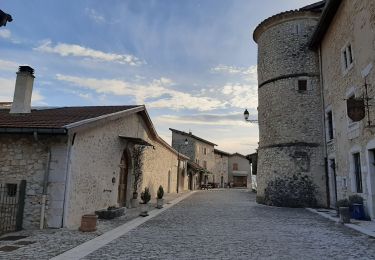
Trail Road bike of 57 km to be discovered at Auvergne-Rhône-Alpes, Isère, Chatte. This trail is proposed by BELLETGE.

Walking
Nordic walking
Running

Mountain bike
Nordic walking
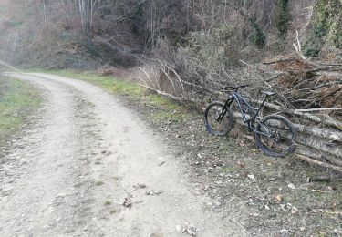
Mountain bike
Walking

Walking
Walking
excellente boucle avec de belles vues, des routes peu fréquentées et un dénivelé intéressant. merci !