


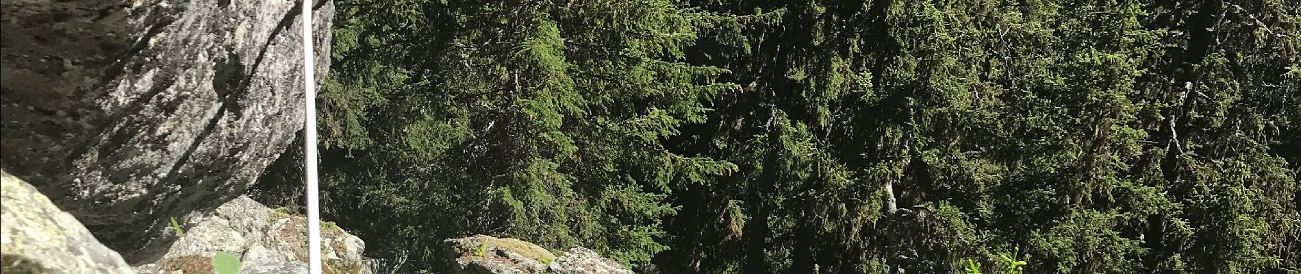
Nazonde par la forêt

Klhn
User
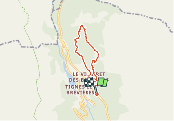

Length
6 km

Max alt
1973 m

Uphill gradient
402 m
Km-Effort
11.3 km

Min alt
1700 m

Downhill gradient
407 m
Boucle
Yes
Creation date :
2020-07-05 12:52:16.0
Updated on :
2020-07-05 15:57:05.149
3h05
Difficulty : Difficult

FREE GPS app for hiking
 SityTrail
IGN / Geographical institutes
SityTrail Plus
The world is yours!
About
Trail Walking of 6 km to be discovered at Auvergne-Rhône-Alpes, Savoy, Tignes. This trail is proposed by Klhn.
Photos


Positioning
Country:
France
Region :
Auvergne-Rhône-Alpes
Department/Province :
Savoy
Municipality :
Tignes
Location:
Unknown
Start:(Dec)
Start:(UTM)
338012 ; 5041343 (32T) N.
Comments