


croix mission

pascalloos
User

Length
15.1 km

Max alt
586 m

Uphill gradient
342 m
Km-Effort
19.9 km

Min alt
218 m

Downhill gradient
398 m
Boucle
No
Creation date :
2020-07-05 12:58:17.033
Updated on :
2020-07-05 16:41:45.414
3h40
Difficulty : Easy

FREE GPS app for hiking
 SityTrail
IGN / Geographical institutes
SityTrail Plus
The world is yours!
About
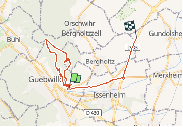
Trail Walking of 15.1 km to be discovered at Grand Est, Haut-Rhin, Guebwiller. This trail is proposed by pascalloos.
Description
Guebwiller croix mission rocher du coucou
Positioning
Country:
France
Region :
Grand Est
Department/Province :
Haut-Rhin
Municipality :
Guebwiller
Location:
Unknown
Start:(Dec)
Start:(UTM)
367405 ; 5307235 (32T) N.
Comments