


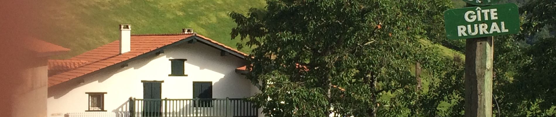
Bidarray harrihandi aritzakun

antignacs
User GUIDE
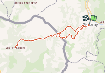

Length
23 km

Max alt
540 m

Uphill gradient
827 m
Km-Effort
34 km

Min alt
127 m

Downhill gradient
829 m
Boucle
Yes
Creation date :
2020-07-09 07:06:40.0
Updated on :
2020-07-30 17:23:35.057
7h04
Difficulty : Difficult

FREE GPS app for hiking
 SityTrail
IGN / Geographical institutes
SityTrail Plus
The world is yours!
About
Trail Walking of 23 km to be discovered at New Aquitaine, Pyrénées-Atlantiques, Bidarray. This trail is proposed by antignacs.
Photos


Positioning
Country:
France
Region :
New Aquitaine
Department/Province :
Pyrénées-Atlantiques
Municipality :
Bidarray
Location:
Unknown
Start:(Dec)
Start:(UTM)
633832 ; 4791580 (30T) N.
Comments