


Petit tour au dessus de val claret

Klhn
User
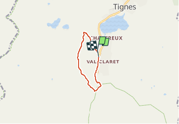

Length
3.9 km

Max alt
2325 m

Uphill gradient
216 m
Km-Effort
6.8 km

Min alt
2104 m

Downhill gradient
215 m
Boucle
Yes
Creation date :
2020-07-14 12:48:00.0
Updated on :
2020-07-14 14:23:20.584
1h34
Difficulty : Easy

FREE GPS app for hiking
 SityTrail
IGN / Geographical institutes
SityTrail Plus
The world is yours!
About
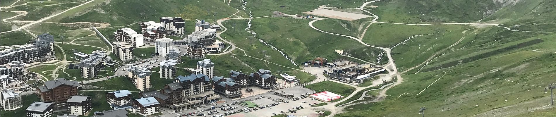
Trail Walking of 3.9 km to be discovered at Auvergne-Rhône-Alpes, Savoy, Tignes. This trail is proposed by Klhn.
Photos


Positioning
Country:
France
Region :
Auvergne-Rhône-Alpes
Department/Province :
Savoy
Municipality :
Tignes
Location:
Unknown
Start:(Dec)
Start:(UTM)
335660 ; 5036043 (32T) N.
Comments