


pic de bure

Joel26400
User
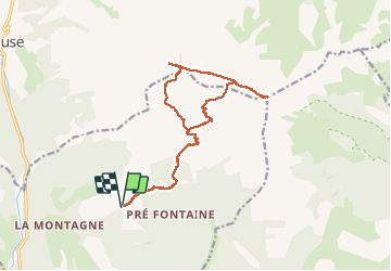

Length
17.4 km
Boucle
Yes
Creation date :
2020-07-19 04:41:39.558
Updated on :
2020-07-19 13:48:13.368
8h04
Difficulty : Difficult

FREE GPS app for hiking
 SityTrail
IGN / Geographical institutes
SityTrail Plus
The world is yours!
About
Trail Walking of 17.4 km to be discovered at Provence-Alpes-Côte d'Azur, Hautes-Alpes, Montmaur. This trail is proposed by Joel26400.
Description
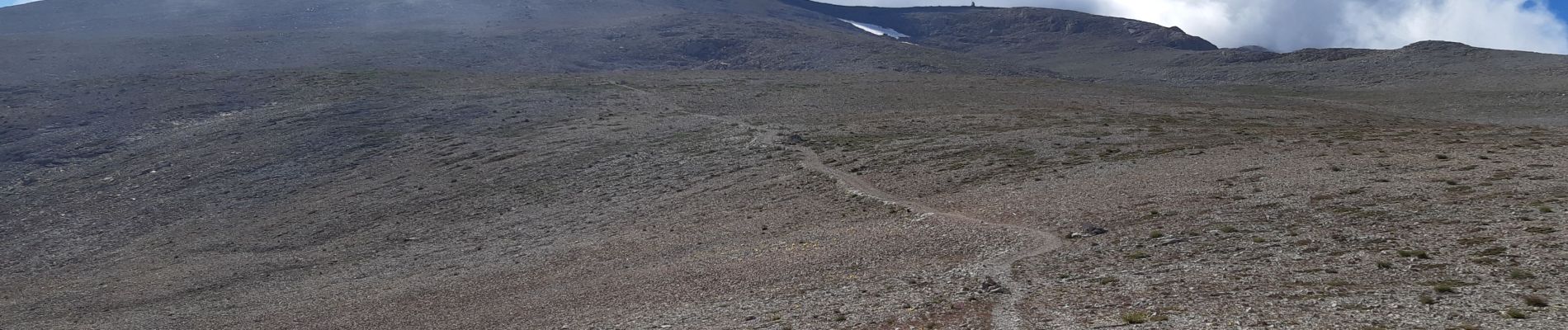
dommage du brouillard au sommet
Photos


Positioning
Country:
France
Region :
Provence-Alpes-Côte d'Azur
Department/Province :
Hautes-Alpes
Municipality :
Montmaur
Location:
Unknown
Start:(Dec)
Start:(UTM)
729217 ; 4942790 (31T) N.
Comments